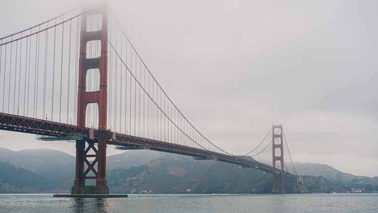
Bay Area residents can expect sunny skies and breezy conditions interspersed with a chance of showers as they move through the week and into the weekend. The National Weather Service San Francisco, CA, has predicted that calm weather will be brought on by high pressure but advises locals to stay tuned for a possible switchup, with cooler temperatures and light rain on the horizon.
Dry conditions hold the fort for now, with gusty northwest winds unsettling the coastal waters. Highs will vary today, ranging from the 60s near the coast and bay, to the 70s inland, according to the National Weather Service San Francisco CA. However, the forecast is not set in stone as differences in global models have left room for uncertainty, especially towards the weekend.
The long-term outlook indicates that "dry conditions prevailing through mid-week," but the scenario could change toward the end of the week due to significant variance in the predictive models. The weather service indicates that while the GFS model hints at wetter conditions, its ECMWF counterpart suggests otherwise. In light of these diverging models, they concede that it remains a "low confidence forecast from a global model forecast perspective."
For those planning mountain travel, particularly to the Sierra Nevada, it's wise to follow the weather closely. While the Bay Area and north Central Coast are past peak rainfall season, the weather service reminds us, “it can still rain in May,” and previous advice from a Lead Forecaster suggests it's a good idea to carry chains for travel through Memorial Day, just in case.
Aviation and marine activities are also affected by the current conditions. Windy weather is expected at the airports, with the potential for low-level wind shear emerging early Wednesday morning. The waters, whipped up by the gale force gusts due to a strong northerly pressure gradient, could see fresh steep waves reaching heights of 10 to 12 feet, "with hazardous gale force wind gusts through early Friday," the National Weather Service San Francisco CA reports.
Calm waters and safer sailing should return later and into next week. However, mariners in affected areas are advised to take heed of all relevant advisories and warnings. This includes a Gale Warning until 3 AM PDT Wednesday for Pt Arena to Pt Reyes 0-10 nm, with additional small craft advisories and warnings extending through various timeframes and locations along the coast.
As the city straddles the line between spring warmth and potential rainfall, San Francisco Bay Area residents should keep their eyes on the skies and partake in outdoor activities while they can — with umbrellas and warm jackets at the ready.


