Ever wonder what Fillmore Street looked like in the days before modern apartments, Panda Express, and the 22-Fillmore? Due in large part to the leveling of most of the Western Addition in the middle of the century, the Fillmore neighborhood is almost unrecognizable when compared to photos from the early 20th century.
For those unacquainted with the neighborhood's past, San Francisco's Redevelopment Agency developed a plan in 1948 to clear out over 10,000 residents and demolish 2,500 Victorian homes. In their place, tall modern apartment buildings were constructed, and chain restaurants moved in. Thousands of displaced residents left the city.
We took a trip back in time, and compared photos from the SFMTA archives with images of the street today. Here's what we found.
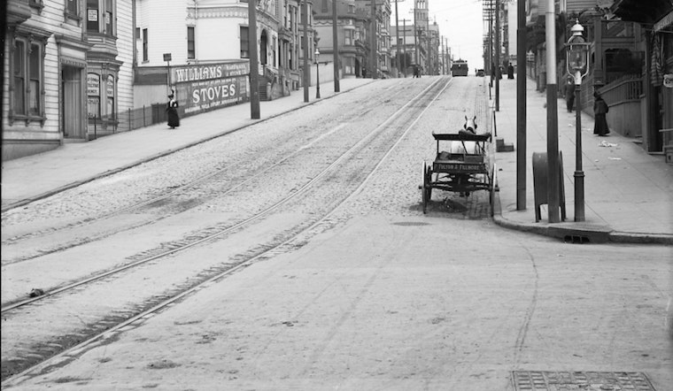
 Fillmore and O'Farrell, 1909.
Fillmore and O'Farrell, 2015.
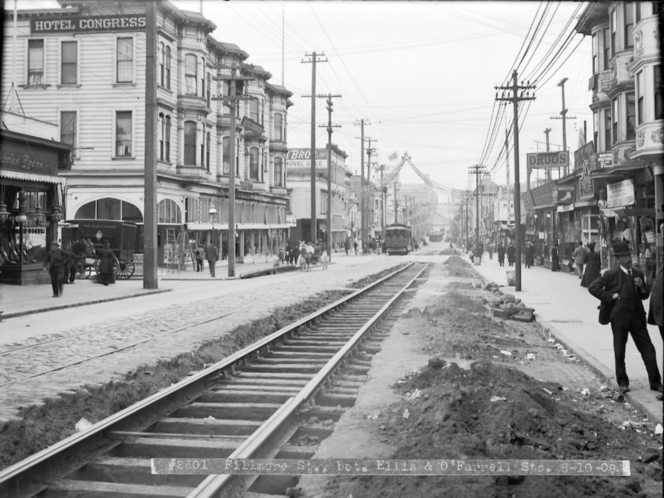
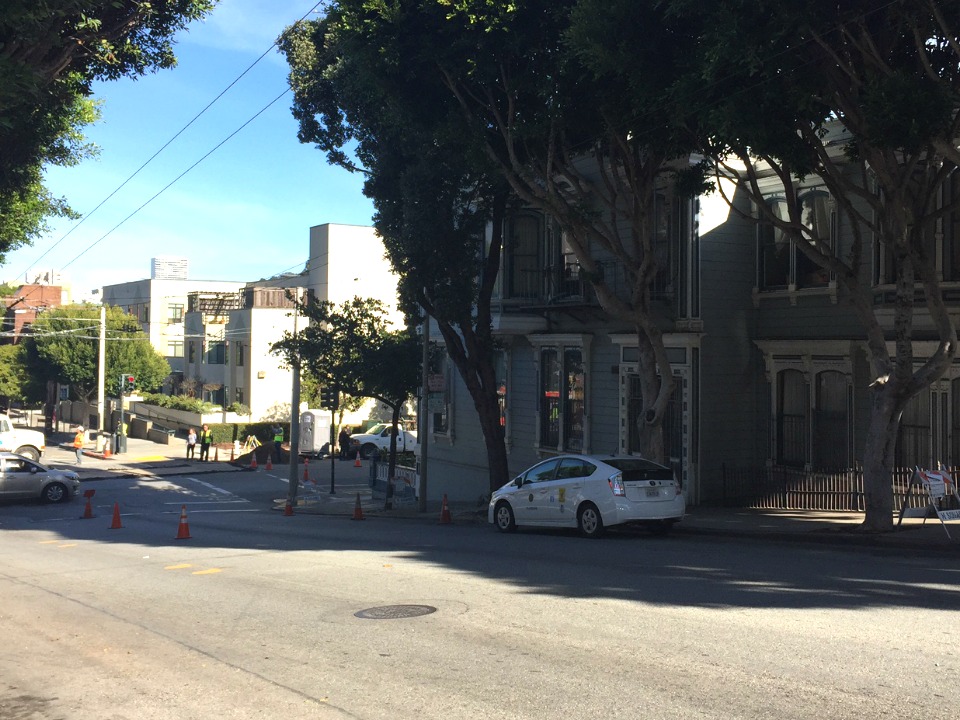
 Fillmore between Eddy and Ellis, 1909.
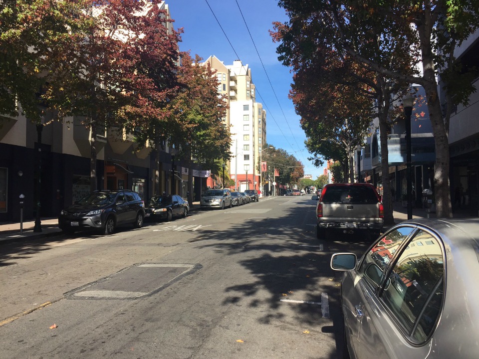
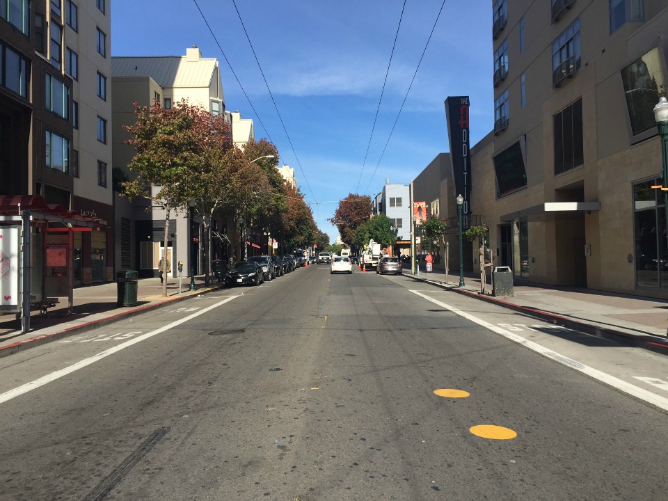 Fillmore between Eddy and Ellis, 2015.
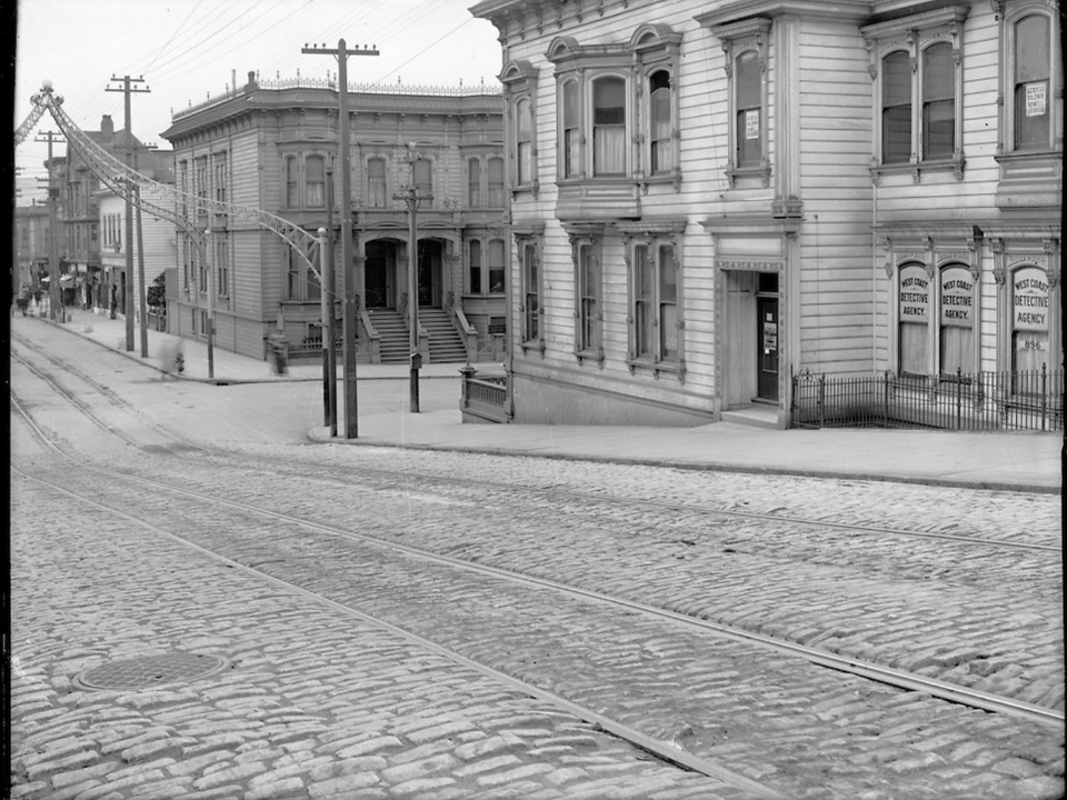
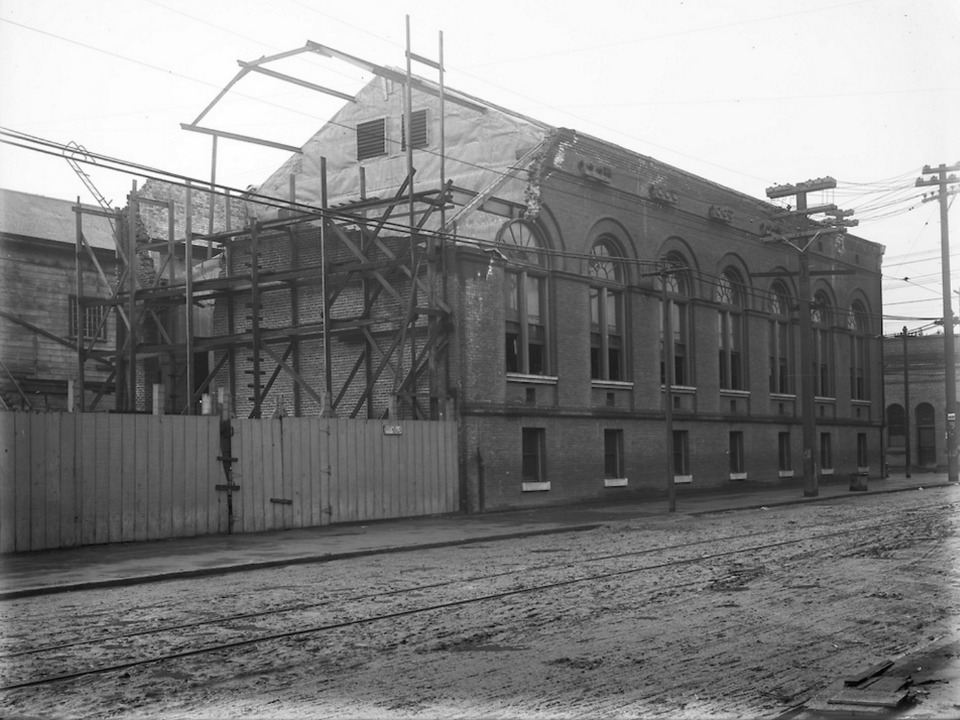 Turk and Fillmore Substation, 1907.
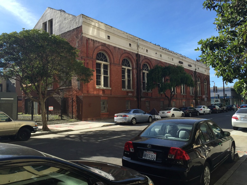 Turk and Fillmore Substation, 2015.
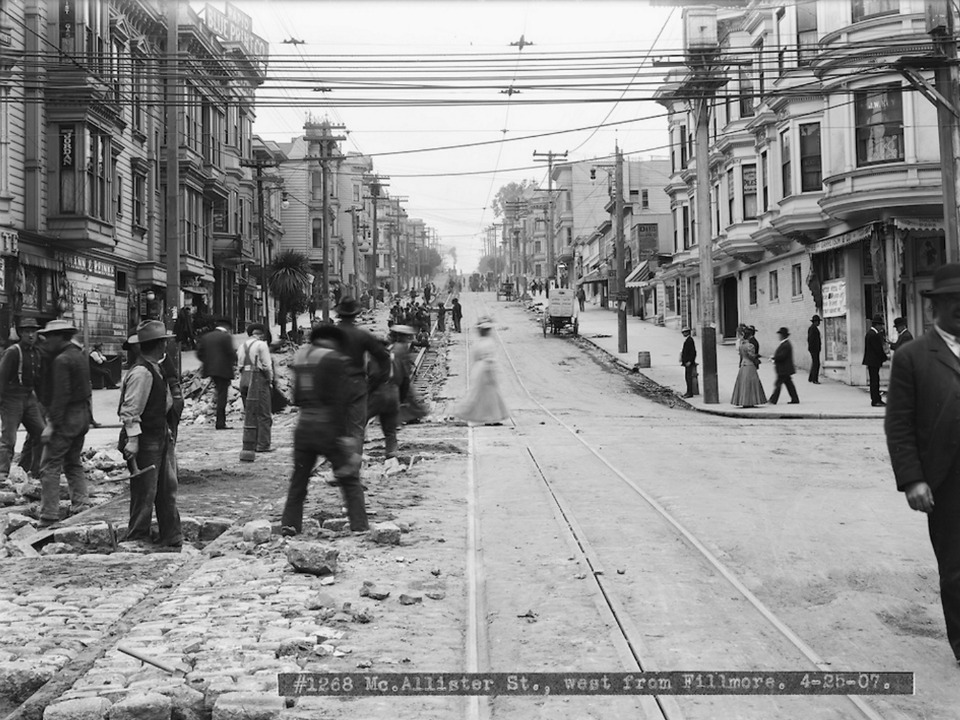 McAllister, west from Fillmore, 1907.
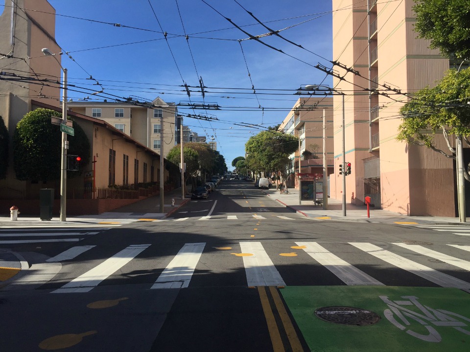 McAllister, west from Fillmore, 2015.
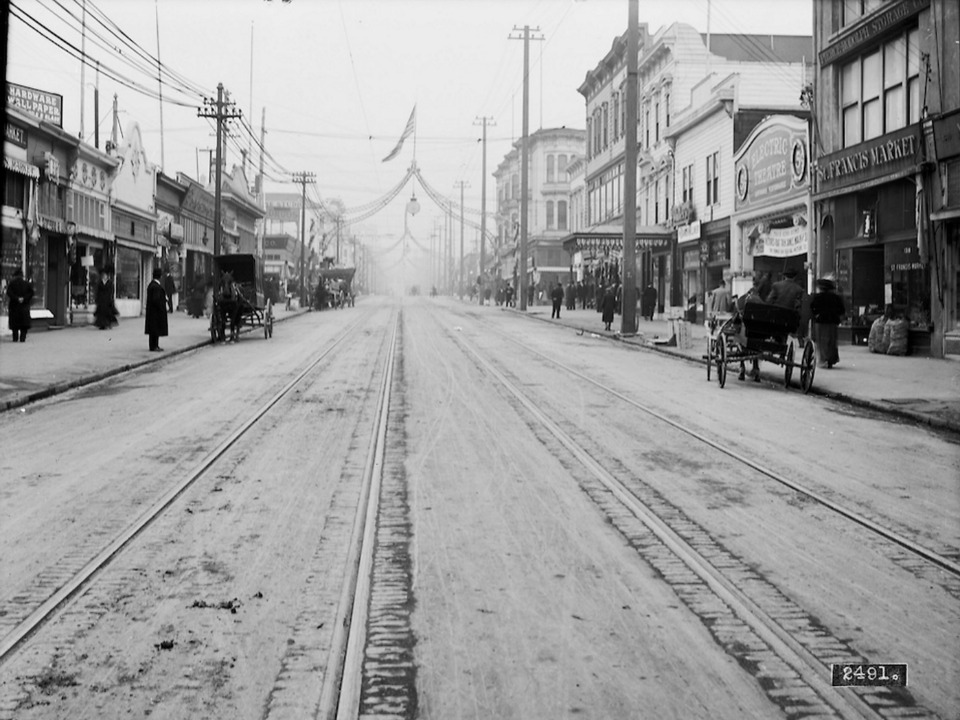
 Fillmore between Grove and Fulton, 1909.
 Fillmore between Grove and Fulton, 2015.
For more "then and now" photos, check out the previous entries in this series, from Polk Street, the Tenderloin, Market Street, Divisadero, Castro and the Inner Sunset.


