According to the National Weather Service, San Diego residents are in for a breezy weekend. Forecasts predict gusty southwest-to-west winds will pick up this afternoon across the mountains and deserts and persist all the way through Sunday night, the NWS reported.
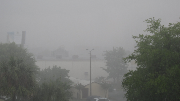
The wind isn't the only thing hitting the region; light to moderate rainfall is on the docket for Saturday evening into Sunday morning, per the National Weather Service's Area Forecast Discussion. They noted that "the trough axis and associated surface cold front will pass through So Cal tonight into Sunday," facilitating quick-hitting, transient showers. Unfortunately, the desert regions are likely to miss out on the wet weather, with no precipitation expected in the low deserts and a mere few hundredths of an inch possible in the high desert.
This bout of inclement weather also means a temperature drop. "Today, highs will be around 3-7 degrees below normal for most areas, near normal in the low deserts. Sunday is even colder with highs around 15-20 degrees below normal inland and 5-10 degrees below normal near the coast," according to the forecast. San Diego's National Weather Service office projects coastal area highs in the 60s, while the mountains will see chilly 40s, and the low desert will remain warmer with highs upward of 70s.
The weather shake-up also extends to the sea, with a Small Craft Advisory in place from the early hours of Sunday into Sunday evening. This forecast discussion means "gusty northwest wind gusts of 25 to 30 knots will occur this evening through Sunday evening, which will generate hazardous boating conditions, especially in the outer waters," the NWS disclosed. These maritime breezes are expected to continue into the middle of next week, specifically impacting the outer waters each afternoon and evening.
San Diegans may look forward to drier conditions returning early next week, with temperatures gradually climbing from Tuesday onwards. By Thursday, most ensemble predictions exclude the cooler temperatures, indicating the likelihood of warmer days ahead after the weekend's chill.


