The return of smoke-free air and (at least partially) blue skies offers the perfect opportunity to get outside, explore the city, and escape your work-from-home doldrums for a little while. San Francisco has an array of green spaces to discover, while getting your steps in and your blood pumping. Here are just a few of the finest urban hikes this city has to offer:
Land’s End
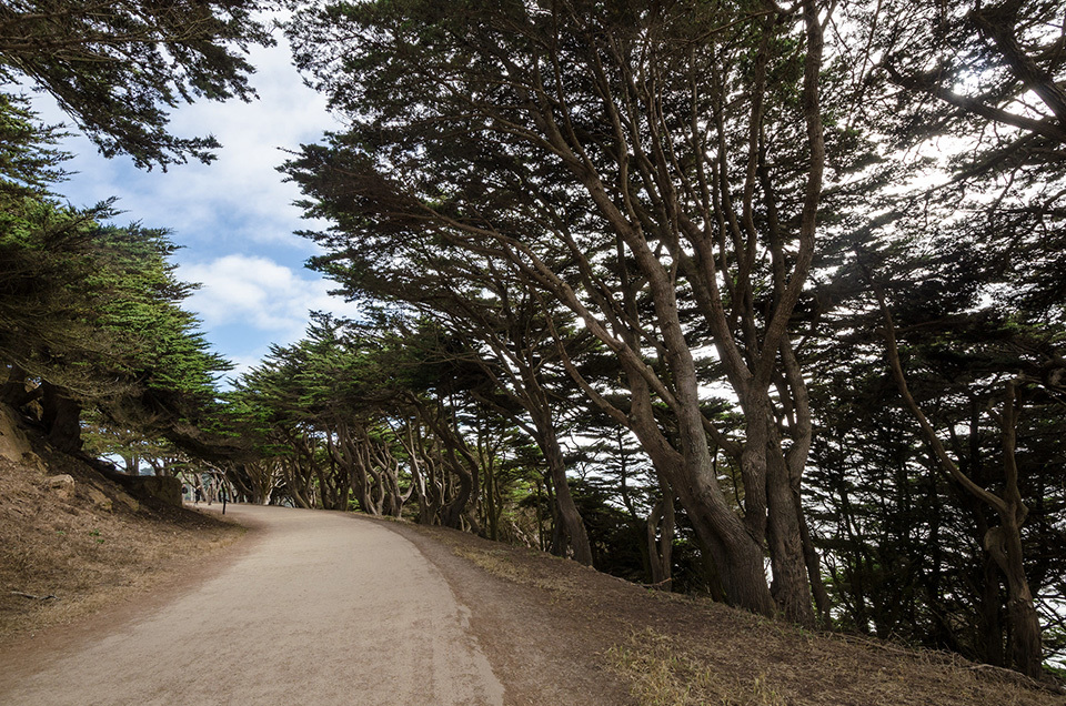
This popular spot on the northwestern edge of the city has trails running from Sutro Baths to the Lincoln Park Golf Course. The main trail is part of the California Coastal Trail, designed to “to create a continuous, interconnected public trail system spanning over 1200 miles from Oregon to Mexico." The main Coastal Trail is about a mile and a half one way, but there are several side trails that will take you up to eucalyptus groves and down to different beaches, including, of course, Sutro Baths right at the start.
It can feel windy and wild, especially when gusts from the Pacific Ocean pick up, but on clear days it has views of the Marin Headlands and Golden Gate Bridge. Pets are also allowed on the established trails, so feel free to bring along your canine companion.
Stow Lake and Strawberry Hill
Located in Golden Gate Park between JFK Drive and Martin Luther King Jr. Drive just a short distance from the Japanese Tea Garden, Stow Lake dates back to 1893. The manmade lake encircles Strawberry Hill Island, named for the wild strawberries that used to grow on its slopes. The one-mile paved trail around the lake’s perimeter passes by a 110-foot artificial waterfall and a colorful Chinese Pagoda.
Crossing over to the island via one of two bridges located on opposite sides of the lake, hikers can opt for either dirt paths or stairs to ascend to the flattened top of Strawberry Hill. At over 400 feet, the summit is the highest point in Golden Gate Park and has benches on which to relax before starting the return trip down.
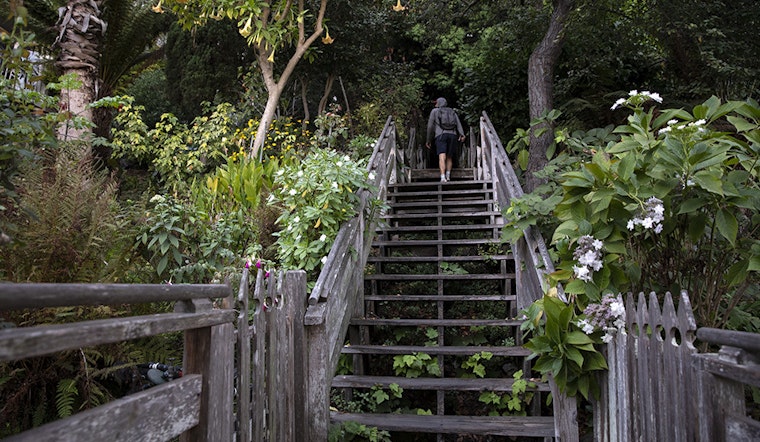
Telegraph Hill and the Filbert Steps
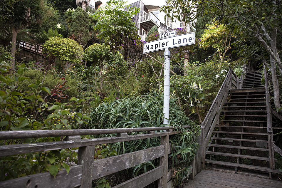
Topped by Coit Tower, Telegraph Hill is one of the original “Seven Hills” of San Francisco. (The list now includes almost fifty.) Getting to the top via the Filbert Steps will undoubtedly fulfill your cardio workout for the day. The steep stairways lead up from Filbert Street, where it crosses Sansome Street, through beautiful gardens and historic homes. The different gardens that line the steps provide a scenic backdrop as well as being home to the well-known flock of feral parrots that frequent the area. At the top is Pioneer Park with Alcatraz visible on clear days or the fog rolling in from the west most other days.
Bernal Heights Park
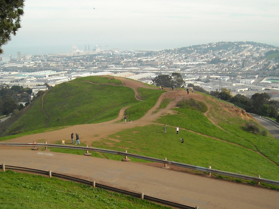
Located in one of the sunniest corners of the city, Bernal Heights Park offers trails, playgrounds, picnic areas, a recreation center and even a rock labyrinth. It also has one of the biggest designated off-leash areas for dogs. Established in 1973, the park is home to native grasses and wildflowers, as well as more than forty species of birds. A mile-long paved trail around the base is wheelchair and stroller accessible, but the hill also offers a network of dirt trails that lead up to the top. Once there, hikers are treated to one of the best panoramic views of the city from the Golden Gate Bridge to downtown and the bay.
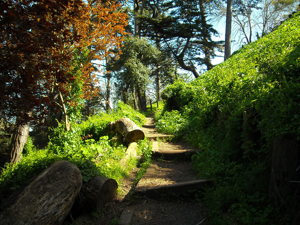
Glen Canyon Park
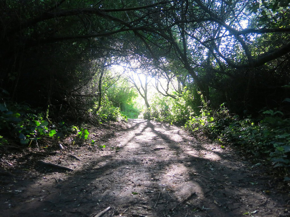
This lush gem is located in Glen Canyon just off O’Shaughnessy Boulevard. The canyon is bisected by Islais Creek, one of the only free-flowing creeks left in the city. The recreation area encompasses nearly 67 acres. According to SF Recreation and Parks, there is a 3.7-mile trail network that takes hikers through habitats that range from creekside vegetation to the low scrublands of the canyon’s eastern slope.
Those looking for an uphill challenge can take the 1.2-mile "Creeks to Peaks" trail, which starts down at the creek and rises up towards Twin Peaks. Looking for more cardio and 360-degree views? Continue on across Portola Drive and up Twin Peaks Boulevard for an additional 0.6 miles on the trail.
Grand View Park
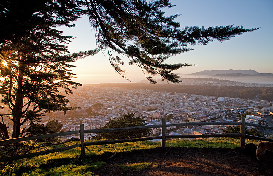
Known as Turtle Hill to locals, it is also sometimes referred to as Larsen’s Peak, but its official name is Grandview Park. Located in the Inner Sunset, the compact hilltop park is 666 feet from bottom to top. The most colorful pathway up to the park starts at the tiled stairs at 16th Avenue and Moraga Street. The famed 163 rainbow-colored tile steps were completed in 2005, and create a sea-to-sky mosaic design. At 15th Avenue a wooden staircase leads to the summit.
A short sandy trail circles the top of the park, and on the summit you will find yourself connected to the history of the land as you walk over red Franciscan Chert, a layered bedrock that was formed while this area was still on the bottom of the ocean floor 140 million years ago. Looking out, the views reach west all the way to the Pacific Ocean. They don’t call this Grand View Park for nothing.


