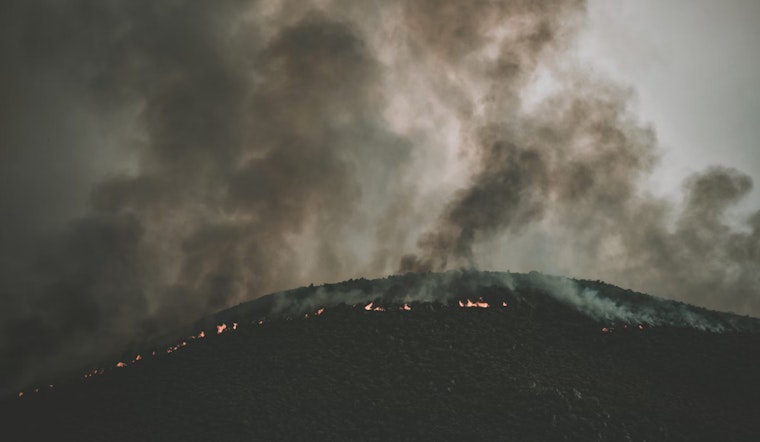
Residents of the nation's capital and its surrounding areas should be on alert as the National Weather Service in Washington, D.C., issues a red flag warning and a gale warning today, with a serious note on the increased risk of wildfire spread. Forecast data by the NWS indicates a breezy day ahead, with wind speeds ramping up to 20 mph and gusts potentially reaching 34 mph.
The Red Flag Warning, applicable from 11 am to 8 pm, specifically targets the Fredericksburg area, where conditions are ripe for potential wildfires. It's a race against the elements for local residents and firefighting units as "gusty winds and low humidity will result in an elevated risk for wildfire spread through this evening," according to the National Weather Service. The areas most at risk are aligned along and south of the I-66 and US-50 corridors.
The advisory extends to a Gale Warning in effect from noon to 8 pm for the Chesapeake Bay north of the Bay Bridge and northern tidal Potomac. This escalation means that locally, there might be churn and chop on the waters, troubling for small crafts and demanding caution among mariners, as per NWS alerts.
Looking beyond today, the hazard doesn't diminish just yet. The threat for wildfire spread persists through Thursday, thanks to unforgiving gusty winds paired with low relative humidity. Community members are urged to stay vigilant and prevent any activities that could potentially ignite a blaze in such dry conditions. While "spotter activation is not expected at this time," the National Weather Service keeps its eyes trained on the horizon, monitoring the shifts that steer the balance towards safety or hazard for the local populace.
As the week unfolds, residents can expect the weather to be mostly sunny with fluctuating temperatures that drop to the low thirties at night. By the weekend, however, prepare for a wet shift as rain is forecasted, with high chances of precipitation through Saturday. Getting towards the end of the detailed forecast period, temps are expected to hit a high near 57 both on Monday and Tuesday, with varying cloud cover. Yet amidst nature's whims, vigilance remains the standing order, tethered to the immediate concerns of the current warnings. It's a fine line walked between the beauty of a sunny day and the hidden threats that lie within.


