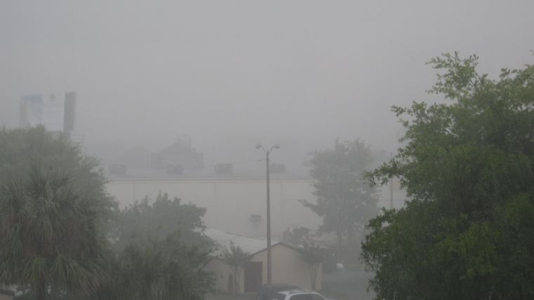
Southern Californians should keep their raincoats at the ready as the National Weather Service predicts a day filled with showers and isolated storms. According to a statement obtained by the NWS Forecast Office in San Diego, the whole region stands a chance to experience precipitation, with the mountains and inland valleys facing the best odds.
For those hitting the roads, caution is advised due to potentially hazardous wet conditions. The highs in coastal and valley areas are anticipated to fluctuate between 65 and 80 degrees, with mountain regions seeing a cooler range of 45 to 60 degrees. The high deserts will be slightly warmer with temperatures from 65 to 70, while the lower deserts can expect to bask in the upper 70s.
Weather patterns are expected to shift on Tuesday as the stormy conditions are set to pull back, focusing on the mountain regions. "Area showers and isolated thunderstorms Tuesday will be more confined to the mountains," an NWS San Diego Area Forecast discussion noted.
The early part of this week could also bring locally heavy rainfall, small hail, and slick roads. San Diego's NWS office highlighted the potential for these conditions: "Main impacts from today's weather will be locally heavy rainfall, small hail and slick roads." As for the marine environment, the forecasts include a small chance of showers and thunderstorms late this afternoon and evening, especially near the coast.
Beachgoers are advised to remain cautious since there is between a 15 to 20 percent chance of thunderstorms capable of producing lightning late this afternoon and evening. Recreational sailors should also be aware of the slight possibility of encountering gusty, erratic winds, and lightning. Admittedly, no hazardous marine weather is expected through Friday. Looking further ahead, the weekend could see a return to cooler and breezier conditions as high-pressure systems give way to a Pacific trough.


