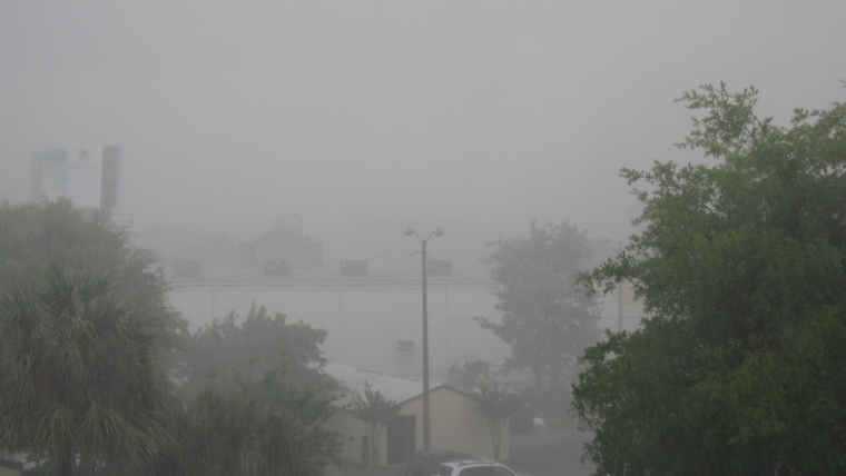
Southern Californians are bracing for a wild weather weekend, the National Weather Service San Diego has issued a series of alerts that anticipate widespread rain, snowstorms, and gusty winds sweeping across the region. The heaviest precipitation is expected to pound the area throughout this morning, as coastal and inland valleys battle with near-40 mph wind gusts and mountain regions with gusts surpassing 50 mph, reports the NWS Forecast Office San Diego.
Orange County, the Inland Empire, and Northern Mountains will face the brunt of the rain onslaught early today, with a cold front thrusting potential flash floods in urban areas, as rainfall might peak to an excessive 1.00"/hr in certain locales; this severe weather scenario is predicted to reach San Diego County post-sunrise. The NWS San Diego's X update highlights that Transverse Ranges will absorb the most substantial rainfall with hourly rates between 0.25-0.9 inches within the next several hours before shifting to the Peninsular Ranges and the San Diego metro area from early morning to early afternoon.
"The heaviest rainfall (including hourly rates of 0.25-0.9 inches) and peak IVT will continue to focus along the Transverse Ranges through the next 4-6 hours, before focusing across the Peninsular Ranges (and San Diego metro area) between 12-21Z (5am-2pm) today." https://t.co/liqnnXJ15j
— NWS San Diego (@NWSSanDiego) March 30, 2024
Mountainous areas are set to turn white with "several feet of snow" expected above 6000 feet by the end of the weekend. The snow levels, which are currently stationed above 6000 feet, are projected to plummet to 4500-5500 feet throughout the San Bernardino, Riverside, and San Diego Counties; creating incredibly hazardous travel conditions accompanied by strong winds and blowing snow, the NWS Forecast Office San Diego further detailed.
The cold snap is hitting hard, with the weekend's polar plunge holding coastal temperatures 5-10 degrees below usual and flipping inland area's mercury 15-25 degrees under norm; today, temperatures will languish - struggling to climb out of the 50s by the coast, mountaineers shivering in 30s and 40s, and desert dwellers experiencing mid-60s. After a chilling weekend, a brief warmth is on the forecast for Tuesday and Wednesday before the next storm front approaches later next week, as per the extensive discussion in the Area Forecast Discussion by the National Weather Service San Diego.
Marine conditions are rough with a Small Craft Advisory in effect due to southerly winds clocking between 20-25 knots, gusting up to 30 knots through late afternoon. After the passage of the cold front later today, winds will subside, but thunderstorms will likely occur across the marine and beach locales. The NWS has cautioned beachgoers about dangerous swimming conditions and surf up to 10 feet on west-facing San Diego County beaches, reinforced by the issuance of a Beach Hazards Statement and a High Surf Advisory in effect until Sunday afternoon.


