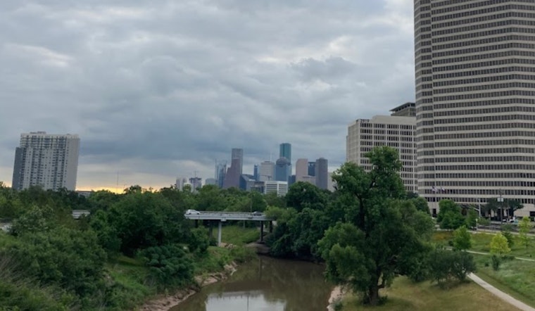
Houston residents may need to hold onto their hats over the next few days as the weather takes a turn for the unpredictable. According to the National Weather Service's Houston, the city can expect patchy fog early today and Thursday mornings, with temperatures soaring to a high near 86 degrees. Tonight's weather could stir residents with a low around 72 and possible gusty winds as high as 25 mph, while Thursday night promises to stay mostly cloudy with a low around 73 and gusts reaching up to 20 mph. Houston's Weather Forecast indicates isolated showers and thunderstorms could make appearances beginning Friday afternoon, with chances of precipitation at a mere 10 percent.
The weekend outlook appears to be a mixed bag, as the Weather Service anticipates a 30 percent chance of showers and thunderstorms come Saturday afternoon. However, by Saturday night, the percentage of potential precipitation jumps to a whopping 70 percent. Wednesday's Outlook in Houston suggests the thermometer will read a little cooler on Sunday, with temperatures peaking near 72, giving way to a mostly sunny Monday cresting at 77. And as Tuesday rolls around, Houstonians should gear up for more sunshine and a high brushing up against 83, as per NWS Houston on X.
The warming trend continues as we'll see temperatures in the low to mid 80s today and then in the mid to upper 80s on Thursday. Patchy fog is ongoing in some spots this morning and we're expecting another round on Thursday morning. #TXwx #HOUwx #BCSwx #GLSwx pic.twitter.com/w3FP3iwC3R
— NWS Houston (@NWSHouston) April 17, 2024
Still, peace might not last long; the Storm Prediction Center has placed parts of northern Texas, including Houston's outskirts, under the gun for severe weather threats. Thursday spells trouble, as reported by the Forecast Discussion in Houston area, with "scattered strong to severe storms capable of damaging winds, large hail, and perhaps a couple tornadoes" expected to rattle the region. The report further details that this tumultuous weather is part of a broader severe threat spreading from the Mid Mississippi Valley into the lower Ohio Valley on Thursday.
Adding to the churning cauldron of weather woes, "locally damaging winds and hail are also expected over parts of northern Texas," a forecast compounded by an upper low nudging east into western Ontario and fostering a broad area of cyclonic flow aloft. While an accelerated front is predicted to sweep across Oklahoma and Missouri before barreling down on Texas by late afternoon, leading to strong destabilization, a cocktail for whipping up severe conditions. The aforementioned weather service center denoted the narrowing window for these turbulent systems, with the "MLCAPE over 3000 J/kg forecast, with steep lapse rates through a deep layer" ratcheting up anticipation for severe weather that can spawn damaging downbursts and hail.


-3.webp?w=1000&h=1000&fit=crop&crop:edges)


