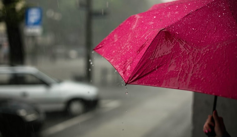
The City of Brotherly Love is set to endure a series of dreary days ahead as the National Weather Service in Philadelphia has forecasted consistent rain and possible thunderstorms. According to the latest weather updates, persistent showers are expected throughout the week, with today’s high barely scraping 50 degrees amidst 100 percent chance of rain and potential new precipitation accumulation between a half and three quarters of an inch.
Ominous clouds, with their burdens yet unreleased, have led to a visibly dense fog, cutting down visibility to a mere two miles. Tonight, showers could escalate into a thunderstorm as the temperature hovers around 46 degrees, and winds from the east could reach speeds of up to 30 mph.
Tomorrow seems no better, with the NWS predicting "periods of rain, with thunderstorms also possible after noon." The high for the day will be in the low 50s, but brisk winds from 20 to 25 mph will likely make it feel much cooler. The chance of heavy rainfall continues, with new accumulations expected to measure up to an inch.
Anticipate a break from the thunderstorms by late Wednesday night, yet showers could persist until the early hours. Temperatures are predicted to fall to the low 40s as the winds shift from a northwestern direction. By Thursday, the rain chances decrease slightly with "a chance of showers, mainly after noon,” as reported by the National Weather Service.
The latter part of the week shows gradual improvement, although the sun may play hide-and-seek with transitioning clouds. The prediction for Friday is partly sunny skies and a high near 50 degrees. As we head into the weekend, conditions appear to stabilize with breezy yet mostly cloudy weather on Saturday and a slight uptick in temperatures heading into Sunday and Monday, reaching a more comfortable high near 62.


