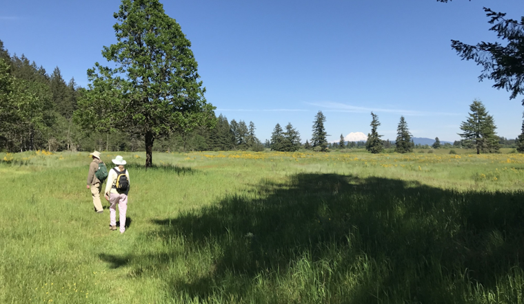
The Washington Department of Fish and Wildlife is taking to the skies, but don't expect any high-flying action – they're deploying drones over state lands in Clallam and Thurston counties to keep tabs on prairie habitats. These drones are on a mission to gather crucial data on conservation lands, focusing on the native stomping grounds of some of Washington's most in-need species. We're talking about the likes of Taylor’s checkerspot and mardon skipper butterflies, plus the streaked horned larks – all of which have the dubious honor of landing on the Species of Greatest Conservation Need list.
According to an announcement on the WDFW website, these high-flying data collectors will be up and running from 8 a.m. to 5 p.m., chewing through the to-do list from May through the end of 2024. But if you’re a local, breathe easy; the department assures us that the drone activity won't result in area shutdowns or rain on anyone's parade. These pilots aren't greenhorns either – they're certified remote pilots with the Federal Aviation Administration, so they know a thing or two about keeping their eyes on the unmanned prize and will responsibly ground the drones if the weather turns foul or if they spot potential disruptions for the wildlife or the public.
The WDFW has vowed to keep everyone in the loop. Should these buzzing bots need to cover territories beyond state-run wildlife areas, the landowners will be dialed in for approval. Lest any hiker or hunter fear being caught off guard by these scientific sorties, signs will announce when and where the research drones are doing their thing.
The year-long drone fest isn’t just for show; it's a vital part of the department's efforts to get the skinny on prairie health, covering all the vegetation gossip, from height to quality. "Flights will happen throughout 2024," the WDFW promises, "so staff can track vegetation characteristics like vegetation height, host plant occurrence, and habitat quality across the growing season and assess pre- and post-restoration treatments." And while drones might seem more at home delivering your online shopping haul, these gadgets are putting their aerial abilities to good use by testing sensors and mapping tech that could beef up WDFW's chops in charting new habitats and keeping tabs on how their restoration efforts are panning out.
All this airborne activity is part of a broader crusade to improve Washington's wildlife well-being, aligning with goals like the State Wildlife Action Plan and other recovery plans for federal or state-listed species. If you're interested in the WDFW's prairie-probing project, they've set up shop online with a dedicated westside prairie webpage, so you can check out the full scoop on their south Sound Prairie efforts.


