As the Bay Area beheld a smattering of rain, forecasters at the National Weather Service in San Francisco anticipated a tamer climate for the coming week. According to an early morning bulletin, expect a few more showers today over the interior, while drier conditions and a warming trend are on deck through the midweek. But don't stow your umbrellas yet, as chances for showers are slated to return by late week.
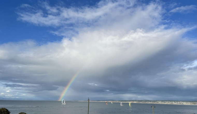
During a day that's been seasonably cool across the region, a potential storm's been floating its presence especially over the inland Central Coast and southern Diablo Range, as an X post from the NWSBayArea account indicated. The atmosphere, still echoing yesterday's instability, recorded via an Oakland weather balloon one of the highest surface-based Convective Available Potential Energy (CAPE) measurements. With 663 J/kg, the reading ranked as the "26th highest surface based CAPE on record," out of more than 56,000 launches since 1948, the NWSBayArea shared in a subsequent post.
Look for more sunshine today with a few showers this afternoon and evening. Can't rule out an isolated storm especially over the inland Central Central Coast and southern Diablo Range. #cawx pic.twitter.com/GoBAA16JtT
— NWS Bay Area 🌉 (@NWSBayArea) March 31, 2024
As aficionados of the skies might tune their attention to the thermometer's slow ascent early this week, with highs potentially striking the mid 70s by Tuesday, a cool front threatens to crash the party. Forecasters from the National Weather Service San Francisco declared a high-pressure system to be in place for a brief stint of agreeable weather before a trough puts a damper on things by late week. Anticipate the familiar gust of breezy onshore winds, a dip in temperatures, and a renewed possibility for rainfall as the week wanes. Any rainfall is expected to linger into the weekend, keeping conditions on the chillier side.
Mariners, take heed, with the National Weather Service's coastal waters forecast suggesting a High Pressure system moving to shore up conditions early to mid-week. The same forecast speaks to cooler maritime polar air movements by Wednesday, and chances of wet weather from Thursday, a mix that could shape the contours of our coastal experiences. In keeping with maritime safety, the NWS issued a Small Craft Advisory, applied to specific zones, warning of the brisk winds and choppy waters that are rolling in.


