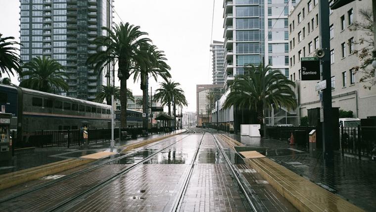
The San Diego area braces as the weather takes a moody turn this weekend, with an area of low pressure ushering in cooler temperatures and a higher chance of showers and thunderstorms, particularly across the mountains and deserts. According to the National Weather Service San Diego CA, scattered showers and isolated thunderstorms are expected to keep things wet and potentially stormy into this Saturday evening.
Bringing some winter back into play, snow showers above 5,000 feet are forecasted, turning heavier over 7,000 feet—with mountain areas potentially stacking up a couple more inches of snow before the weekend is out. With moisture sticking around "another chance for showers and isolated thunderstorms across the area" today, hikers and skiers heading into the San Bernardino and Riverside County mountains must watch their step under the ongoing Winter Storm Warning, expiring Sunday morning, as stated by the National Weather Service.
As for those looking ahead to the new week, the outlook appears sunnier with predictions of drier conditions and a warm-up on the horizon. "Warmer weather arrives as high pressure settles into the area by the early and middle parts of next week," the forecast discussion suggests a rise in temperatures across Southern California. For those planning outdoor activities, be prepared for above-average readings west of the mountains.
Maritime interests can sail a little easier, as the NWS reports a below 10 percent risk of thunderstorms out on the coastal waters. "Otherwise, no hazardous marine weather is expected through Wednesday," reassures sailors and fishermen looking to navigate the Pacific. While isolated light showers could still wet the deck through tonight, it seems the brunt of the storm will be keeping to land.
The region is not entirely out of the woods—or clouds, rather—as the long-term forecast hints at another Pacific trough possibly impacting the area later next week. However, the promising note for most is the consensus on warmer, dryer conditions taking the stage "Wednesday through Friday," giving residents a brief intermission from the show of showers and chill.


