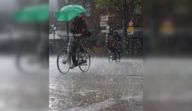
Severe weather is poised to roll through San Antonio and the Hill Country as the National Weather Service forecasts a sweep of storms that could bring hail and damaging winds late Monday evening into Tuesday morning. Pointedly, areas east of San Antonio and the eastern part of the Hill Country are braced for a Level 2 risk, which indicates a likelihood of isolated to scattered severe storms, while locales to the south and west are sitting at a more modest Level 1 risk, setting the stage for possible isolated severe weather events.
According to KENS 5, the primary concerns on deck are large hailstones and winds with the punch to cause structural damage. The National Weather Service hasn't ruled out the twist of a tornado either, though it's less of a sure thing than the other atmospheric bullies. Preparation is key, with experts advising residents to keep an ear out for watches and warnings and to seek the protective embrace of a basement or interior room away from windows should a tornado warning blare.
Meanwhile, North and Central Texas are ramping up for a heightened threat level, marked as a level 3 out of 5 risk for severe thunderstorms by the Storm Prediction Center, as reported by Express News. This region, including major cities like Dallas and Fort Worth, is preparing for the possibility of both large hail and a few tornadoes come Monday. The high-stakes weather lottery is expected to start in the late afternoon and intensify towards nightfall.
For San Antonio itself, the lead-up to this severe weather event appears deceptively calm. Most of Sunday, celebrated by many as Easter, will be served warm and cloudy with periods of fog dissipating by mid-morning. The mercury is set to hit the mid-80s, only to be undercut by the late-night arrival of the cold front. Post-storm, temperatures will dip slightly, resting in the still-comfortable high 70s to around 80 degrees on Tuesday, providing a brief respite before nature potentially turns the dial up once again.


