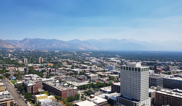
Utahns brace for a meteorological mix as the summer solstice marks the beginning of what's forecast to be a steamy and potentially stormy season. The National Weather Service Salt Lake City office warns of deep moisture moving into eastern Utah through Friday, predicting showers and thunderstorms "capable of producing heavy rain." As per their forecast, a Flash Flood Watch remains active tomorrow afternoon for parts of eastern Utah, with a keen eye on the potential for flash flooding.
Current conditions at Salt Lake City's International Airport reflect a partly cloudy sky and temperatures hovering near 89°F, with dry humidity at 15%. The weekend is expected to heat up with "increasingly hot temperatures," according to the NWS, who are forecasting an intense spike with highs possibly breaching the late 90s in Northern Utah.
Adding to this, ABC4 reports a surge of monsoon moisture bringing the threat of showers and thunderstorms by Thursday night into Friday, with remnants of the first named storm of the season, Tropical Storm Alberto, possibly influencing the pattern. Strong thunderstorms could be on the table, complete with "damaging winds, hail, and heavy rainfall" sufficient to "cause flash flooding," ABC4 warns. They also upgraded the risk for flash flooding Friday in popular southeastern areas to probable, while Zion and Bryce Canyon are in the possible category. The detailed forecast from ABC4 thus advises reconsidering outdoor activity plans, especially along or to the east of I-15.
As the high pressure system rebuilds over the weekend, temperatures are predicted to bounce even higher. Salt Lake City might to not only hit but nudge past the 100-degree mark on Sunday, teasing a near record-high set in 2014. The elevated temperatures are forecast to persist, with "triple-digit heat forecast for the next seven days in Southern Utah," and the Wasatch Front to remain "above average for the long-range," according to ABC4. While Northern Utah is geared up for drier conditions, the south isn't quite done with the wet weather, with lingering moisture expected to fuel further shower and thunderstorm risks through Monday.
Residents are advised to stay updated on the latest weather developments, which promise a dramatic interplay of desert heat and monsoon drama. Precautions against heat-related illnesses and flash flooding should be top of mind, as the state enters the height of summer under a sweltering and capricious sky.


-1.webp?w=1000&h=1000&fit=crop&crop:edges)


