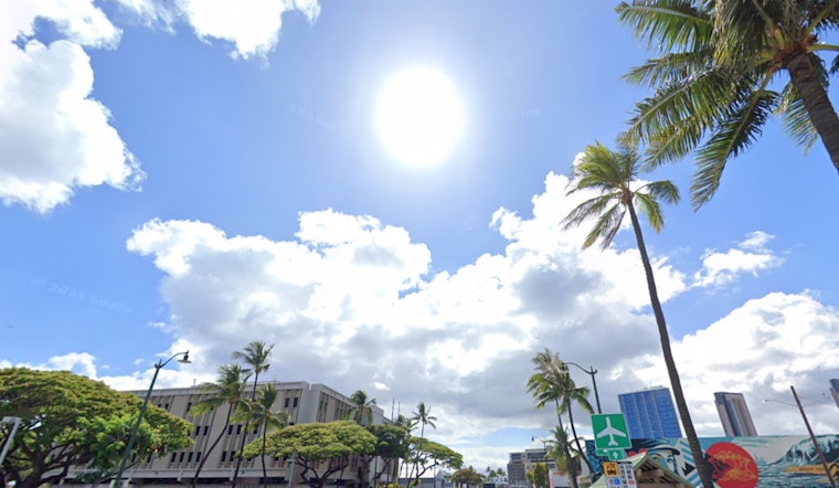
Honolulu's weather is sticking to a familiar script with moderate trade winds set on cruise control through the week, locals can expect a sprinkle of variety courtesy of land and sea breezes, the National Weather Service in Honolulu reports. In short, beach plans are a go, but an umbrella wouldn't hurt either - a slight hiccup in the otherwise dry and stable conditions is set to pepper the islands with a few showers through tomorrow.
The big picture shows high pressure far northeast of Hawaii, playing tug-of-war with a large area of low pressure, resulting in persisting moderate trades, which allow those sea and land breezes to dance around the state, especially in leeward and interior spots - and while high pressure usually calls the shots, it's got its hands full, struggling to maintain dominance. A weak low cruising to the west is dragging a stream of tropical moisture up the island chain, an opportunistic traveler poised to amp up Sunday’s shower activity in its wake.
As aviators navigate the skies, they'll contend with mostly VFR conditions, though the influx of moisture promises to stir the pot into a more active brew of clouds and showers, sprinkling MVFR conditions around, especially in windward and interior locales, according to the NWS guidance. Coastal dwellers should also brace for possible minor flooding towards the week's end as peak monthly high tides conspire with water levels that prefer to exceed expectations.
Waves are taking a breather too, with south shore surfing expected to subside into early next week and a smorgasbord of northern swells aiming to peak on Tuesday, bringing a new energy to the scene, while east shore surfers might have to wait a bit longer for their slice of the action, all thanks to the ridge of high pressure north of Hawaii that's tiptoeing south, bumped by a development further up the Hawaiian latitudes. Meanwhile, landlubbers needn't fret over fire weather; the relative humidity's getting a slight bump as dewpoints nudge into cozy territory, ensuring the winds don’t dry things out too much before conditions return to their drier roots mid-week.


