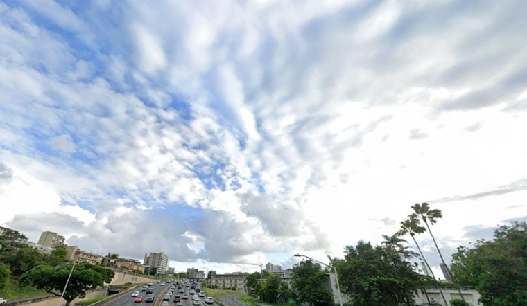
As Honolulu braces for Hurricane Kiko's effects, residents can take a brief sigh of relief with the entry of a drier air mass that's expected to curtail shower activity today. However, the notion of increased humidity and rainfall hangs heavy as the hurricane is set to pass north of Hawaii on Tuesday and Wednesday. According to the latest forecast from the NWS Honolulu, "Drier air moving into the stable, light to moderate trade wind flow over the islands will limit shower activity on most islands."
With Kiko looming about 425 miles east of Hilo, it ushers in a threat of moisture that will up the ante for clouds and windward showers as trade winds get disrupted. "Moisture along the periphery of the system will spread over the state Monday night and Tuesday," as noted by the NWS Honolulu. This moisture is predicted to not only blot out the sun but could also lead to some areas experiencing locally heavy rainfall with isolated thunderstorms as the atmosphere grows more unstable tomorrow.
The disturbance caused by Hurricane Kiko is also forecast to generate considerable surf activity, a note of concern for locales along east-facing shores. "Surf along east facing shores will slowly rise today as swell energy from Tropical Cyclone Kiko arrives," as reported by the NWS, pointing to a likely issuance of a High Surf Warning later this afternoon. Swellers should expect the waves to peak, possibly at low-end High Surf Warning levels by Tuesday before receding gradually by Wednesday.
For mariners, attention is drawn as Tropical Storm conditions are anticipated over eastern and northeastern offshore waters through Wednesday. While the hurricane's trajectory keeps it clear of the coastal waters, its presence will be felt with a notable bump in wave heights from tonight. "Although no wind impacts are expected over the coastal waters," as per the NWS, a Tropical Storm Warning remains in effect for noted offshore areas.
On the upside, winds are projected to remain under critical fire weather thresholds over the next few days. This forecast, on one hand, signals a respite for regions like the Big Island, where concerns for fire weather are pronounced especially with low humidity at higher elevations. "Increased humidity and higher chances for rainfall are expected Monday night into Wednesday and Tropical Cyclone Kiko passes north of the state," mitigating short-term fire risks, as mentioned by the NWS.


