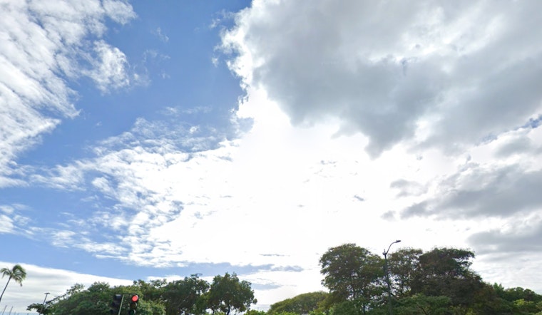
The traditional trade winds are expected to keep things steady in Honolulu, with limited cloudiness and showers confined mostly to windward and mauka areas through Thursday. According to the latest report from the National Weather Service in Honolulu, the forecast predicts an uptick in shower activity starting Friday and into the weekend. They say, "Increased shower activity is expected Friday and into the weekend."
Looking at the technical side, meteorologists are leaning on the National Blend of Models for predictions, with key players like the GFS and ECMWF mostly in sync regarding the upcoming weather patterns. There are a few discrepancies as the weekend draws near, but the consensus indicates a rise in atmospheric instability and a surge in precipitable water (PW) levels. Bracing for a moist turn of events, forecasters have bumped up Probability of Precipitation (PoPs) for certain areas, but as far as today's prospects go, not much rainfall is expected—"Forecast PoPs have little change for tonight through Thursday," as reported by the NWS.
The persistence of high pressure to the north is slated to sustain the trade wind flow through the week. A cold front, paired with an associated low pressure system way out northeast of the islands, is gradually drifting eastward. This shift is set to introduce extra moisture into the mix. "Both the GFS and ECMWF are in agreement with the main area of moisture reaching the islands Friday night," share the experts from the NWS. An upper atmospheric low is also set to develop, which could possibly lead to thunderstorms and heavier showers as the conditions ripen with chilled mid-atmosphere temperatures and increased moisture.
In the realm of aviation, pilots can expect moderate to brisk trade winds to persist today. There's a chance of showers mainly over windward areas, but with generally favorable flying conditions. VFR (Visual Flight Rules) should reign supreme, briefly giving way to MVFR (Marginal VFR) just for fleeting moments amidst any passing showers. From a marine perspective, trade winds will fluctuate but stay moderate to locally strong, prompting a Small Craft Advisory—affecting certain channels and waters around Maui and the Big Island—issued until Wednesday evening.
The surf scene remains tame on the north shore with just a small uptick expected later in the week due to a distant gale in the Gulf of Alaska. The south swell is also on the decline, with a modest reinforcement by the weekend courtesy of some far-off gales near New Zealand. Meanwhile, east-facing shores will maintain their usual levels of trade wind energy. For those concerned about fire weather, humidities on the rise and winds wavering around critical thresholds may curb the fire risk until the forecasted showers strike towards Friday.


