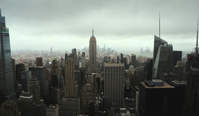
New York City woke up Wednesday, March 4, to a gray, murky start: mostly cloudy skies, patchy fog and temperatures hovering near 39°F. Visibility is reduced in spots, and any leftover moisture from overnight could refreeze on shaded sidewalks and bridges. Drivers and early commuters would be wise to leave some extra time this morning while things slowly improve after sunrise.
Morning Fog and Slick Spots
According to the National Weather Service, a Special Weather Statement is in effect for localized slippery spots and black ice across interior neighborhoods through 9 a.m. Wednesday. Overnight moisture combined with near-freezing temperatures may leave a thin glaze on untreated ramps and side streets, especially in higher-elevation neighborhoods and inland suburbs.
If you are driving this morning, slow it down, use low beams in the fog, and treat any shiny-looking patches on ramps and bridges as suspect. Pedestrians should also be cautious on darker, less-traveled sidewalks where refreezing is more likely.
Rain Thursday Into Early Friday
Rain is expected to return Thursday, March 5, and continue into early Friday, March 6, with the heaviest periods likely Thursday night. There remains a low chance of a brief spell of light freezing rain at the very beginning of the event for colder interior locations, though any ice buildup should be light and short-lived.
Through the end of this system, total rainfall could reach roughly three-quarters of an inch to one inch in many spots. Streets will be wet and travel will likely slow down at times from Thursday into Friday as the rain moves through.
Boaters and the Commute
Offshore, a Small Craft Advisory remains in effect until 6 p.m. EDT on Wednesday, March 4, with seas building to around 3-6 feet. Inexperienced mariners are advised to stay in port until conditions ease.
On land, winds stay on the lighter side today but will pick up on Thursday as the system approaches. Highs are expected to reach near 44°F on Thursday, with a milder push into the 50s by the weekend. Transit riders should keep an eye on service alerts if heavier rain develops Thursday night, and Friday morning surface travel may be slower in areas with poor drainage.
What To Do Today
This morning, give yourself a little extra commute time, ease off the gas on ramps and bridges, and watch your footing on sidewalks while running errands. If you have outdoor plans Thursday morning in the Hudson Valley or northern suburbs, plan on carrying an umbrella and be ready for a brief icy start in the colder spots before temperatures climb above freezing.
For a recap of yesterday’s wintry mess, see our Tuesday report on that slushy morning commute. We will update this story if the National Weather Service or city agencies issue new advisories later in the week.


