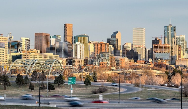
Northern Denver woke up under a blanket of thick fog early Thursday, with some airport sensors dropping visibility to around a quarter mile and temperatures stuck in the upper 30s. The murk is expected to clear by midmorning, making way for abundant sunshine and a rapid warmup to around 73°F. By afternoon, gusty south-southwest winds will crank up and raise fire concerns across dry grass and brush.
Foggy Morning
Areas of dense fog formed before sunrise from the northern Denver suburbs into parts of the northeast plains, cutting visibility on side streets and at smaller airports. Southerly drainage winds along the South Platte River Valley are expected to drag in drier air and scour out the low clouds by late morning, so the gray start should not last long.
Afternoon Warmth and Fire Weather
Once the sun takes over around midday, temperatures are forecast to jump into the low 70s, with a high near 73°F ahead of a dry cold front moving in tonight. According to the National Weather Service Denver/Boulder, a Red Flag Warning is posted for parts of the eastern plains from noon to 8 p.m. Thursday. South-southwest winds of 5-17 mph, gusting into the upper 20s, and humidity dropping into the mid-teens will combine to create locally critical fire weather on the Palmer Divide and nearby grasslands.
Blustery Night and Gusty Friday
A cold front will surge through Thursday night, bringing a brief chance of rain and high elevation snow before skies clear again. Friday turns cooler and noticeably blustery, with highs near 55°F and west-northwest winds of 13-22 mph. Gusts into the 40s are likely along the plains and the I-25 corridor, and foothill spots could see stronger bursts closer to 50-55 mph. It is a good night to tie down lawn furniture and skip any spark-producing yard work.
Background
This quick warm-then-cool swing is part of a broader stretch of dry, gusty days across the Front Range. Hoodline has recently highlighted repeated red-flag episodes this winter and early spring, which helps explain why agencies are eyeing today's wind forecast so carefully. For more context, see our earlier coverage on springlike sizzle and rising fire fears, as per Hoodline.
Practical tips remain the same: hold off on yard burning or any work that throws sparks while the Red Flag Warning is in effect, bring pets and grills inside or closer to shelter if you can, and be ready for choppy driving conditions on exposed roads from Thursday afternoon into Friday. For the latest pinpoint forecasts and any updates to warnings, check the National Weather Service and your local fire district before heading out.


.jpeg)