Cleveland is bracing for a severe weather event as a low-pressure system travels northeast along the East Coast, bringing an Arctic cold front set to hit the region by tonight. The National Weather Service Cleveland, OH, has released a forecast detailing the coming conditions, which include a multifaceted snow event and plummeting temperatures. In a report obtained by NWS, Cleveland, the city is expected to see a mix of traditional lake effect snow alongside additional snowfall from synoptic features.
The Arctic front's arrival today signifies a stark drop in temperature. Cleveland's eastern suburbs are predicted to receive about an inch of snow by noon and an additional 1-3 inches post-sunset. The southeast low, currently on its way up the East Coast, may cause the back edge of its precipitation shield to brush against some of the southeast portions of the forecast area. As the Arctic front sweeps across the area in the evening, "temperatures will fall into the single digits or even near zero tonight," according to NWS, Cleveland.
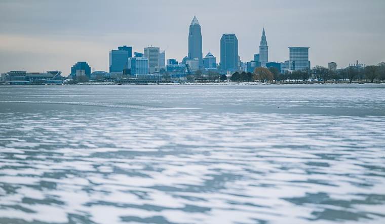
Lake Erie's marine conditions will also significantly change, with north winds shifting westward and increasing to 15-25 knots tonight. A Heavy Freezing Spray Warning is in effect from 1 AM Monday to 1 AM EST Wednesday for specific lake areas as conditions worsen. Meanwhile, the expected heavy snowfall has led to a Winter Weather Advisory for the eastern Cleveland suburbs up I-90 and into Erie County, PA, upgraded from a previously issued Winter Storm Watch.
The NWS report looks ahead, indicating that Cleveland's coldest weather in years will peak from Monday night through Tuesday night. Record low temperatures for January 20-22 are in danger of being broken. "Actual lows of 0 to -5 F Monday night and highs of about 3 to 8 F Tuesday," NWS Cleveland notes, underscoring the intensity of the cold snap. Tuesday night could see temperatures plummet even further, with lows ranging from -8 to -15 F, necessitating a Cold Weather Advisory effective 1 AM Monday to 10 AM EST Wednesday for the entire region.
Looking beyond the immediate impacts, forecasts predict a slow moderation of temperatures towards the end of the week, though a persistent cold and active winter pattern will likely continue. Yet the focus, for now, remains on the immediate cold outbreak, with infrastructure and public safety concerns being paramount as the area navigates this weather event.


.jpg)