The National Weather Service in Sacramento has issued a series of warnings ahead of a late-winter storm expected to bring strong winds, heavy precipitation, and mountain snow through tomorrow. According to an area forecast discussion, "A storm system will move in by late today, bringing strong southerly winds, widespread precipitation, heavy mountain snow, and isolated thunderstorms through Monday." Travelers are advised to exercise caution, as moderate to major travel disruptions in mountainous areas are expected through tomorrow evening.
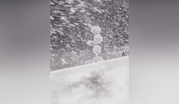
Heavy snowfall is forecasted for the mountain regions with Shasta County expecting 6 to 12 inches above 4000 feet and up 2 feet over peaks. The National Weather Service warns of possible thunderstorms enhancing the already precarious conditions. The snow showers are expected to intensify throughout the day, worsening as a convergence zone creates periods of heavy snow in a the evening. A Winter Storm Warning has been issued for elevations above 4500 feet in the southern Cascades and northern Sierra, where snowfall could accumulate up to 3 feet, and even 4 feet in Lassen National Park.
Furthermore, the system brings with it robust southerly winds that have prompted a High Wind Warning in northeastern foothills and parts of the Northern Sacramento Valley, with gusts potentially reaching 65 mph. "A tight surface gradient develops today, with strong winds aloft (50 kts 925 mb) forecast to mix down to the surface," the forecast discussion detailed. A Wind Advisory has been expanded to include the Central Sacramento Valley and adjacent regions, where gusts between 40 to 50 mph are expected to persist into the night.
The weather disturbances are also likely to generate thunderstorms. "The potential has increased for late morning to afternoon thunderstorms on Monday," the discussion states, with the probability for Valley, Delta, and foothills thunderstorms now sitting between 25 to 45 percent. Residents are advised to prepare for periods of heavy rain, small hail, and gusty winds associated with these storms. Post-storm, cooler temperatures will follow, with areas of morning frost possible, suggesting preparations to protect plants, pets, and vulnerable people.
As the workweek progresses, light precipitation is predicted to return by Wednesday evening and continue into Thursday. The mid-week system should clear by Thursday afternoon, but another trough developing in the Pacific Northwest may bring more moisture into NorCal by the weekend. For updated information on this dynamic weather situation, stay connected to National Weather Service updates.


