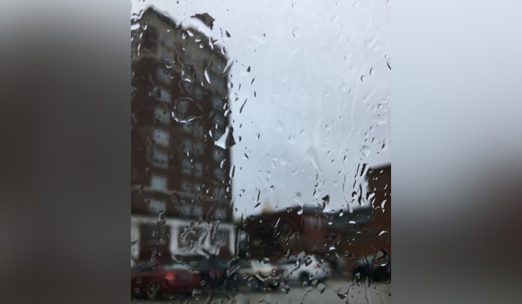
The National Weather Service in Milwaukee is gearing up for a smattering of showers and potential thunderstorms set to make their way across Wisconsin this week, and while spotter activation isn't on the table just yet, it's time to keep an umbrella handy. According to the NWS update, today's weather is forecasted to have "Showers likely, mainly before 10am" then shifting to partly sunny with a high near 56 degrees, giving residents a brief respite amidst the brewing storms.
Tonight, the clouds will linger, with lows around 43 degrees and a calm east wind eventually settling into stillness. Wednesday will begin with a slight chance of showers, followed by increasing activity and a chance of showers and thunderstorms after 1 p.m. Temperatures will rise slightly to a high near 64 degrees—a calm before the storied Midwest weather begins to show more of its volatile personality.
As the week trudges on, the possibility of precipitation waxes and wanes—Thursday has a 30 percent chance of showers, mostly cloudy skies, and a high near 57. Meanwhile, Friday might just test the patience of Wisconsinites with a significant chance of showers and potential thunderstorms, potentially causing disruptions with the NWS predicting a 70% chance of precipitation, and new rainfall amounts between a tenth and quarter of an inch, except higher amounts possible in thunderstorms.
Weekend plans could be marginally safer from the wrath of nature - Saturday offers a break with partly sunny skies and a high near 52, though rest assured, the clouds won't be on vacation for long. By Sunday night, another set of showers inches into the forecast. "A 30 percent chance of showers," signals a note of consistency in the ever-shifting sights and sounds of a Wisconsin spring. The start of the next work week brings the chance of showers, with higher temperatures suggesting a mixed bag of conditions—a partly sunny climb to near 65 degrees.
This upcoming onslaught of wet weather was addressed in the most recent Hazardous Weather Outlook, which highlights a risk of "isolated strong thunderstorm or two with a hail threat for this morning and again this evening." With potential for intermittent thunderstorms extending through Friday, residents of east central, south central, and southeast Wisconsin should remain alert but not alarmed, as the Weather Service advises.


