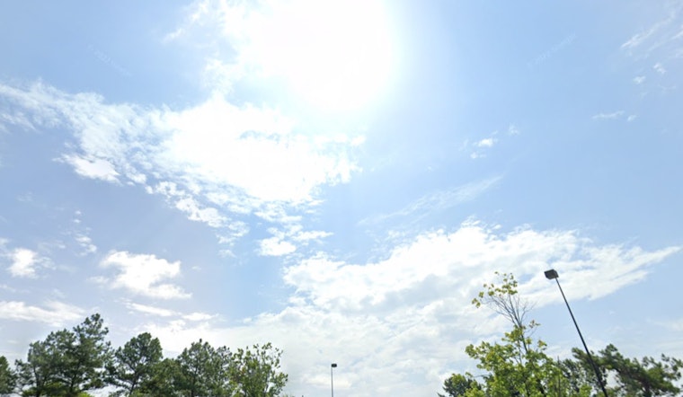
The National Weather Service in Charlotte, NC, forecasts a sunny, significant heat stretch over the next few days, with humidity levels hovering around the high 80s and low 90s. Today's weather is expected to soar to a high near 92, with heat index values potentially climbing as high as 100, a stark reminder to residents to stay hydrated and find shade when possible. By the evening, temperatures are anticipated to cool slightly, offering a mostly clear sky with a low around 74.
The calm before the storm is to momentarily allow residents to catch their breath, as the upcoming weather shifts promise to bring heat, showers, and thunderstorms throughout the week. Tomorrow's forecast mirrors today's, projecting sunny skies with a high nearing 92 and heat index values up to 101. As we transition into the evening, the weather is expected to present a 30 percent chance of showers and thunderstorms before 2 am, followed by a slight chance of showers.
According to the NWS update, Tuesday is looking at a 30 percent chance of showers and thunderstorms predominantly after 4 pm, while the evening maintains a similar chance of precipitation before 7 pm. The familiar pattern of moisture and instability continues through the week, with Wednesday and Thursday predominantly sunny, each day with a daytime high near 87, though Thursday afternoon might see a 30 percent chance of showers and thunderstorms.
Culminating in a potentially wet weekend, Friday's forecast includes a 60 percent probability of showers and thunderstorms, with a high near 83. The unsettled weather seems to stubbornly persist into Friday night, where showers and thunderstorms remain likely, with a low around 69. Saturday does not offer a respite, featuring a 50 percent chance of showers and thunderstorms, capping off the week's rolling dance between sunbeams and raindrops.


