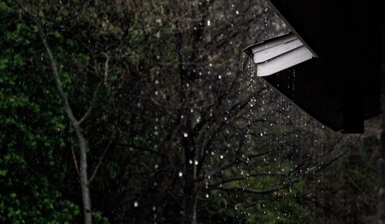
Charlotte and surrounding areas are bracing for a soggy week ahead, with the potential for localized flooding due to a lingering cold front. Persistent showers and thunderstorms are expected, especially this afternoon and evening, as a moist cold front refuses to budge over the region. With humidity levels high and visibility reduced in areas due to fog, residents are urged to prepare for the possibility of nuisance to minor flooding from heavy downpours, according to the National Weather Service (NWS) in Charlotte, N.C.
In a statement obtained by the National Weather Service Greenville-Spartanburg SC, "Scattered to numerous showers and thunderstorms are expected again this afternoon and evening as a moist cold front lingers over the area." The mention of a front lingering casually over the area somewhat belies the seriousness of the conditions it can bring, such as the prevalent dense fog before 10 am today and after 1 am tonight, with visibility dropping to as low as three miles. Travelers are advised to drive with caution.
The forecast details show high chances of precipitation throughout the week. The aftermath of today's showers, leading into a patchy fog, sets the stage for Potential Tropical Cyclone Nine that could impact the area as early as Monday. The system is currently being tracked and could bring additional heavy rainfall and gusty winds into the western Carolinas and northeast Georgia, making its way through the early days of the week.
A Hazardous Weather Outlook has been communicated by NWS for the Piedmont North Carolina, western North Carolina, and Upstate South Carolina areas. With a loosely knit narrative of showers and thunderstorms, the week ahead looks decidedly dreary. "Depending on its exact motion and track, Potential Tropical Cyclone Nine could bring impacts such as heavy rainfall and gusty winds Monday through Wednesday across the western Carolinas and northeast Georgia," NWS officials shared. Although it's still early to predict in full confidence, the heavy rainfall threat may linger into the latter parts of the week.
While the local spotter information network has not been activated yet, this does not diminish the necessity for residents to remain vigilant and tuned in to future forecasts. The impact of the potential tropical cyclone on Charlotte's weather will hinge upon its eventual path, underscoring the need to follow updates as the week unfolds. As for tonight, residents can expect likely showers and thunderstorms before midnight, followed by a slight chance of rain between midnight and 2 am. Meanwhile, the lows will hover at a comfortable, but possibly damp, 66 degrees.


