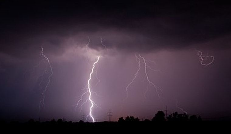
Honolulu is in for a notable shift in weather as the week progresses, as per the latest forecast from the National Weather Service (NWS). Moving into midweek, expect an upper-level low to cruise southward before simmering down and exiting to the west. This means a ramp-up in shower intensity and a side of thunderstorms might be on the menu from Wednesday into Friday evening. For now, light breezes are the norm, but we're gearing up for stronger trade winds soon.
Island goers experienced isolated showers and a mix of cloud coverage today. The NWS described "a few low clouds” hovering around the showers, with some high-altitude fluff trailing a jet stream on its way out. And hold on to your hats, because when Wednesday rolls around, those light southeast winds will make a 180, turning easterly and picking up pace, especially if you're in the typically gusty spots.
Aviators take note: today's weather is spinning out light winds and giving rise to daytime sea breezes. Leeward and interior areas can expect low ceilings with a sprinkle of showers tossed up here and there. Although conditions could dip into marginal visual flight rules (MVFR) territory, the NWS reassures that visual flight rules (VFR) will largely prevail, with no AIRMETs currently in effect.
On the nautical side, mariners will continue to navigate under light east to southeast winds, all courtesy of a lingering trough north of Hawaii. "The trough will fade while high pressure builds far to the northeast Tuesday night with trade winds building in for the rest of the week," as stated by the NWS. While the upper low skates through the region around tomorrow night, it may stir up potential thunderstorms spanning Wednesday through Friday. And surf's certainly up! A High Surf Advisory has been raised for several shores due to a peaking northwest swell, though it's expected to taper off towards midweek. Meanwhile, the south swell chugs along steadily, with new energy pulses forecasted for tonight and Saturday.
When it comes to fire weather, things are looking mellow. The current light winds and scattered showers are keeping risk levels comfortably below critical. Inversion heights are floating between 6,000 and 7,000 feet, not stirring up much concern. For those finding themselves in coastal regions, minor flooding during high tide this morning was on the radar, but no significant alarms were raised.
The NWS has issued a High Surf Advisory effective until 6 PM HST tomorrow for multiple areas including Niihau, Kauai Leeward, and Oahu North Shore. Residents and visitors alike should bear these advisories in mind and exercise caution while engaging in water activities or coastal outings in the affected regions during this period.


.jpg)