Residents of Charlotte and the surrounding western North Carolina region are advised to exercise caution as increased fire danger looms over the area today. The National Weather Service (NWS) in Greenville-Spartanburg issued a special weather statement late Tuesday night highlighting the potential risks due to abnormally dry conditions coupled with low humidity and gusty winds.
The specific warning is for parts of central and northern western North Carolina, including the Piedmont area, where relative humidity is expected to drop "into the 30 to 35 percent range with gusty west to southwest winds of 20 to 30 mph," according to the statement. The NWS emphasized the need to consult local burn permitting authorities before attempting to burn anything, as fires can quickly become dangerous under these circumstances. The increased fire danger status is set to remain in effect from 11 am to 6 pm Wednesday.
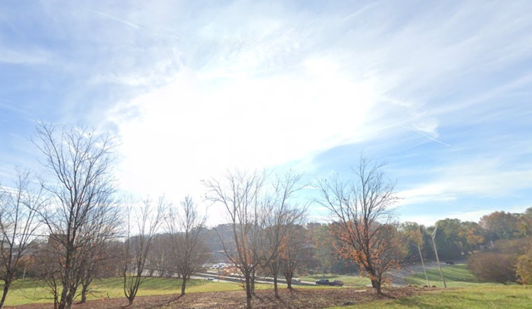
As for the weather outlook, the NWS Charlotte NC forecast promises sunny skies today with a high near 71 degrees, and southwest winds reaching up to 14 mph, with the possibility of gusts as high as 28 mph. The clear conditions will carry on into the night with a low around 48 degrees and winds settling down after midnight. This pattern of sunny and mostly clear skies's slated to continue through the week, with a slight interruption on Friday night when there's a 30 percent chance of rain and thunderstorms anticipated.
Looking ahead, Saturday and Sunday will bring more sunshine with highs in the mid-70s, but temperatures are expected to dip significantly by Sunday night, hitting a low of around 38 degrees. The sunny streak is forecast to persist into Veterans Day, with a high near 50 degrees. Residents are encouraged to enjoy the fair weather but also remain vigilant of the fire warning and prepare for "to quickly adapt to changes" in case they occur, as the NWS advises.


