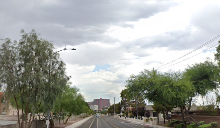
Seattle woke up on the frosty side Friday, with a city weather station at Boeing Field clocking in at about 28°F (−2°C) as of 5:35 a.m. and a light breeze out of the southeast. The payoff for the cold start is a relatively calm, drier afternoon with highs near 43°F, so the Friday commute should be mostly straightforward. Enjoy it while you can, because that quiet stretch is about to end in very familiar Pacific Northwest fashion.
Weekend Weather Shift
Starting late Saturday and stretching into early next week, an upper-level low is set to dig in over the offshore waters and spin several rounds of lowland rain, mountain snow and gusty winds into the region. There is a chance of rain and snow late Friday night into early Saturday, turning into likely rain and snow on Saturday, with the heaviest and most widespread rain expected from Sunday into Monday. High temperatures will bump up into the upper 40s to low 50s over the weekend. Snow levels in the Cascades are expected to sit near 2,000–3,000 feet, which means the mountains could take a solid hit of snow while the lowlands stay mostly wet, according to NWS Seattle.
Hoodline Update
Hoodline first called out this wetter pattern last Friday, when forecasts began hinting at a mid-February return to steady rain. That incoming system now looks stronger and it comes with added marine headlines attached. This piece serves as an update to that earlier outlook and ties back to ongoing concerns about the region’s thin snowpack and reservoir levels. For more background, check out our earlier soggy forecast for context.
Coastal Waters And Boaters
Out on the water, conditions are lining up to be rough. Gale Watches are posted for the Strait of Juan de Fuca and much of the coastal waters from late tonight through Sunday as seas build. Forecast guidance points to a 60–80% chance of seas reaching 18 feet or higher over the coastal waters this weekend, with a strong southerly fetch expected, so boaters should be ready for choppy seas and the possibility of gale-force gusts. Before heading offshore, check the latest marine forecast from NWS Seattle.
Commuters And Mountain Travel
Drivers should plan for wet roads and reduced visibility from Saturday night into Sunday. Forecasters also flag a brief window of mixed precipitation early Saturday near the shore, although lower elevations should mainly see rain overall. In the Cascades, passes such as Snoqualmie and Stevens could see accumulating snow with snow levels stuck at a couple thousand feet. Travelers are advised to carry chains or check in with WSDOT before heading into the mountains.
For most Seattle neighborhoods and other low-elevation spots, this will feel like a classic rain event, but bridges and overpasses are likely to turn slick during the heaviest bursts.
Hydrology And Flooding Risk
On the rivers, the good news is that no river flooding is expected in the next seven days. However, forecasters are keeping a closer eye on the Skokomish River later next week, since several waves of rain on top of low-elevation snow could nudge levels higher. That risk ties back to the region’s thin mountain snowpack and the potential for rain-on-snow events that speed up melt. Agencies will continue monitoring river levels if the heavier systems follow the projected track, and any local river advisories will be flagged as they are issued.
Quick Prep Tips
If you are sticking to the city, waterproof layers and a reliable umbrella should be your weekend uniform, along with some extra travel time for the soggier stretches from Sunday into Monday. Mariners and coastal visitors should secure loose gear, keep an eye on changing conditions and steer clear of exposed beaches when seas ramp up. Anyone eyeing a mountain getaway this weekend may want to reconsider the timing or make sure to check official travel and pass condition pages before pulling out of the driveway.


