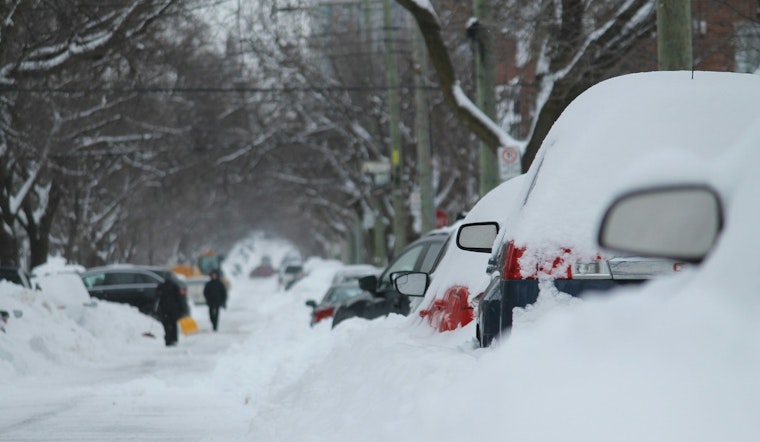
Southern parts of the Twin Cities metro woke up to the real deal Sunday, March 15, 2026: heavy, low-visibility snow is coming down with temperatures near 27°F and visibility trimmed to roughly three-quarters of a mile. Forecasters say the snow is only getting started, with some spots in the metro on track for double-digit totals as the storm cranks up through the afternoon and evening.
Blizzard Warning In Effect
The National Weather Service has a Blizzard Warning up for the Twin Cities until 4:00 AM CDT Monday, March 16, 2026. According to NWS Twin Cities, an additional 11-17 inches of snow is possible in the heaviest band, and winds could gust as high as 50 mph across many locations. The advisory urges that travel be limited to emergencies only and warns of widespread blowing snow with whiteout conditions.
Afternoon Winds Pick Up
North-northeast winds are expected to increase through the afternoon into the 15-25 mph range, with gusts up to about 45 mph and potentially stronger blasts in valley corridors. That wind, combined with the falling snow, will lead to frequent whiteouts and heavy drifting that can quickly bury lane markers and slow plowing efforts. Forecasters expect near-zero visibility at times between midday and evening, with the worst of it sliding northeast across the metro as the day wears on.
Travel, Schools And Safety
Officials are urging residents to stay put unless travel is truly necessary and to check conditions before getting on the road. For statewide updates on closures and plow progress, call 5-1-1 or visit 511mn. If you absolutely have to drive, keep a winter survival kit in your vehicle, share your route with someone you trust, and stay with your vehicle if you end up stranded.
Short Term Outlook
From tonight into Monday, March 16, 2026, snow is expected to taper in some areas while strong winds hang on. Monday's high should land near 17°F, with wind-chill values dropping as low as −13°F. Another round of light snow is on the table for Tuesday, March 17, with 1-3 inches likely Tuesday night before temperatures rebound into the 40s by Wednesday, March 18. As readings climb, melting will ramp up and crews will shift from battling heavy, wet snow to managing slushy runoff through the rest of the week.
Bottom Line
Expect major travel disruptions from Sunday into early Monday, with slow going and lengthy cleanup ahead. Limit trips, follow local guidance, and plan for this storm to keep impacting the region even after the snow starts to wind down. This story will be updated as conditions evolve and agencies issue new advisories.


