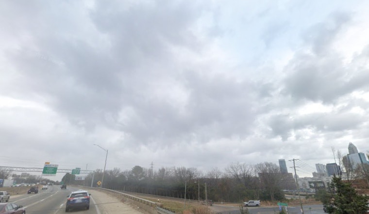
Charlotte woke up in a gray soup Monday as thick fog settled into low-lying neighborhoods and river corridors, cutting visibility and slowing the morning rush. Drivers across the metro are dealing with sudden whiteouts on ramps and surface streets, so expect some patchy delays while the fog hangs around.
Dense Fog Advisory In Play
The National Weather Service issued a Dense Fog Advisory at 4:31 AM EDT, in effect until 11:00 AM EDT today, warning visibility could drop to a quarter mile or less in parts of the Piedmont, according to the National Weather Service. The advisory urges drivers to slow down, use low-beam headlights and fog lamps, and leave extra distance between vehicles. Low-lying spots and river corridors are the trouble zones for the worst visibility through mid-morning.
Warm Week With a Midweek Flip
Once the fog burns off, most of the Charlotte area should trade gray skies for sunshine and near-record warmth, with highs close to 78°F this afternoon. Temperatures climb into the low to mid 80s Tuesday and Wednesday before a strong cold front barges in late Wednesday night, bringing showers, gusty winds and a sharp cool-down by Thursday.
Higher elevations could briefly see a rain and snow mix as the front passes, and forecasters say the pattern could knock temperatures back into the 60s on Thursday with a noticeable chill overnight. Weekend planners should stay flexible, but the outlook favors drier, milder weather once the front moves through.
What Commuters Should Do
If you are heading out this morning, leave earlier than usual, take highway ramps slower than you normally would, and prepare for backups on surface streets while the fog lingers. For more context on how quickly we jump from fog to the 80s, check out how fast Charlotte sprints into the 80s.


