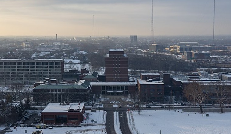
Columbus is waking up in the fog, literally. Mist and low clouds are cutting down visibility across the city early today, with temperatures hovering around 36°F and visibility near 4 miles. Steady rain is set to move in by mid to late morning and hang around through the afternoon, with highs topping out near 49°F. This is not a quick sprinkle. The steady, soaking rain looks likely to continue into Wednesday, keeping streets wet, commutes slower, and outdoor plans soggy and full of puddles.
Afternoon Soaker And Minor Flood Risk
Rain showers will be widespread and likely persistent Tuesday afternoon, with new rainfall amounts of about a half to three-quarters of an inch possible today and tonight. Over the next 24 to 36 hours, some areas between the Ohio River and the I-70 corridor could see 1 to 3 inches, which brings a minor flood potential for low-lying and poorly drained spots. Winds will be light and southerly this afternoon, around 5 to 8 mph, before becoming more variable overnight. Heavier totals will be the main concern for road flooding and ponding, according to National Weather Service Wilmington.
Commute And Airport Impacts
Fog and low ceilings this morning are already chewing into visibility at John Glenn Columbus International Airport and other local terminals, and the steady rain will likely tack on more delays later today. Puddles and standing water will make rush hour driving hazardous. Hydroplaning is a real risk where water pools on ramps and side streets, so give yourself extra time and ease off the gas. Local bus and school routes may also slow down, so check service alerts if you rely on transit.
Weekend And Week Ahead
Wednesday trends milder with a high near 57°F and a period of showers that could include thunderstorms late in the day. Thursday looks even warmer, with highs near the upper 60s and a better chance of heavier downpours. Another system is expected Saturday with additional rain and isolated storms. Each round of rain this week will further saturate soils and nudge up the risk of creek and urban flooding. We covered the change from earlier flurries as this wet pattern started to take shape.
How To Stay Safe
Avoid driving through standing water, slow down on wet roads, and move vehicles off low-lying streets if you can. Keep an eye on small streams and drainage channels, since water can rise quickly in heavy rain, and sign up for local alerts. For forecast and river updates, monitor National Weather Service products and local emergency channels before heading out.


