Washington, D.C. is starting the day on the balmy side and is expected to surge to around 80°F this afternoon, with a few neighborhoods flirting with record highs. The early taste of summer will not last long. A cold front charging in later Wednesday is set to fire up showers and a line of potentially severe thunderstorms from afternoon into the evening, threatening to turn outdoor plans and the commute into a wet, windy mess with lightning and brief heavy downpours.
Afternoon Storm Risk
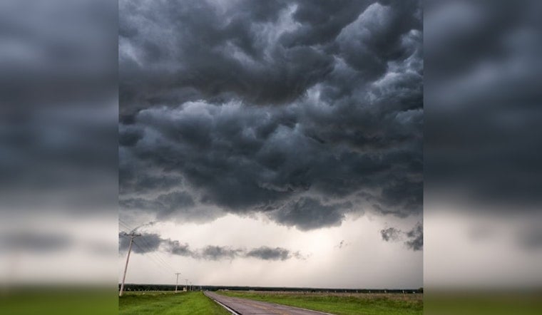
The prime window for thunderstorms runs from mid-afternoon through the evening, roughly between 3 p.m. and 8 p.m., as the front pushes east across the area. Any storms that pop could bring damaging straight-line winds, hail, and possibly an isolated tornado or two, although forecasters still see some uncertainty in exactly how widespread or intense storms will be. For the latest watches, warnings, and radar, check the National Weather Service Baltimore/Washington office.
Afternoon Winds Pick Up
Southwest winds will ramp up this afternoon, with sustained speeds in the single digits to low teens and gusts into the mid-20s mph across the metro. Those gusts are projected to strengthen overnight, reaching near 30 mph. By Thursday the cooler air is firmly in place and conditions turn noticeably blustery as winds swing around from the northwest, with gusts that could reach the mid-30s mph in more exposed spots. It is a good day to secure loose outdoor furniture, keep an eye on vulnerable tree limbs, and pad your travel time this evening if you are planning to be on the road.
Marine And Boaters
On the water, mariners should be ready for building southerly winds and increasingly choppy conditions this afternoon. A Small Craft Advisory is in effect for portions of the Chesapeake Bay and tidal Potomac from about 2 p.m. today into early Thursday morning. Expect gusty conditions on the open and middle Bay and the chance for brief heavy showers or storms tonight that could quickly raise hazards for small vessels. Check with local harbormasters before heading out and make sure gear is tied down if you plan to stay in port.
Fire Weather Through The Weekend
Once the front clears, the pattern turns drier and windier, which bumps up fire weather concerns from Thursday through Saturday. Friday looks especially concerning in many inland valleys, where relative humidity may drop into the 20s while wind gusts reach 25 to 40 mph. How much rain actually falls with today’s storms will go a long way in determining how widespread the fire danger becomes. Some mountain areas may see enough soaking rain to keep the risk lower, while many valleys could dry out quickly. This story updates Hoodline’s earlier coverage of the warmup and adds the elevated post-frontal fire risk highlighted in our earlier near-80 warmup coverage.
Keep phones and weather apps on for alerts this afternoon and evening, steer clear of trees if lightning or damaging winds move in, and be ready to move outdoor activities inside if storms are expected to overlap with your plans. Hoodline will update readers if watches or warnings are issued for the immediate area.


