Honolulu started Friday on a deceptively calm note, with mostly clear skies and a mild 72°F reading at Daniel K. Inouye International Airport early this morning. The day stays seasonable, with a high near 81°F on tap, scattered showers in the mix, and east winds around 5–14 mph that could gust up to 20 mph. A light rain jacket will not be overkill, and anyone out along exposed ridges and shorelines should expect it to feel breezy.
Boaters And Beachgoers
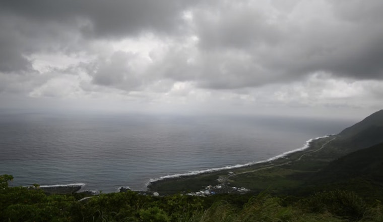
If your weekend plans involve the water, the ocean has a few conditions of its own. A Small Craft Advisory is posted for eastern coastal waters and channels through 6 p.m. HST Saturday, which will keep those channel areas and windward coasts choppy and gusty. Boaters are urged to steer clear of exposed waters inside the advisory zones and secure any loose gear on board. East-facing shores will see the typical trade-wind chop, while south-facing surf is on a slow, steady build. If you are set on ocean time this weekend, sheltered harbors are the safer bet, and postponing more ambitious runs is worth considering.
Weekend Outlook
Saturday keeps the pleasant vibe going, mostly sunny with another high near 81°F. East winds pick up a bit, running 13–20 mph with gusts up to about 26 mph over exposed ridges and channels, so it will feel brisk in the usual wind funnels. Sunday looks like a repeat performance on the sunshine and warmth front, with highs again near 81°F and trades easing back into the single digits to mid-teens. North and west shores could see a modest bump in surf by Sunday, with some breaks flirting with head-high sets.
Watch Next Week
Early next week is when the quiet pattern starts to unravel. A deep low pressure system setting up northwest of the islands is expected to swing winds around to the south beginning Monday night, March 9, pulling tropical moisture northward and cranking up the odds for widespread heavy rain and thunderstorms Tuesday and Wednesday (March 10–11). The National Weather Service cautions that this setup may deliver several days of impactful weather, including strong southerly gusts, torrential downpours, and a significant flash-flooding threat for parts of the islands. Hydrologic outlooks or Flood Watches may follow as confidence in the details increases.
Up high, winter tries for an encore. Above about 12,000 feet on Mauna Kea and Mauna Loa, high-elevation ice and snow are possible beginning Wednesday, March 11, along with stronger summit winds. For the latest watches, warnings and fine-tuned timing, check the National Weather Service Honolulu.


