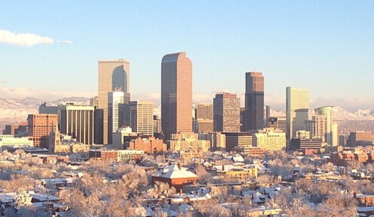
Denver woke up on the chilly and blustery side this morning. The KBJC station logged cloudy skies and 32°F, with northerly winds already gusting into the 60s. Skies are expected to clear and temperatures should climb to around 53°F today, but the calm will not last long. A strong downslope wind pattern later this week is set to crank up fire danger and complicate travel. Forecasters are calling for an unseasonably warm stretch into Friday and Saturday, followed by a colder front late Saturday that brings mountain snow into Sunday.
Sunny Wednesday
Wednesday is the quiet, friendly part of the forecast. Sunny skies and a high near 53°F are expected, with light north-northeast winds generally under 10 mph for a smooth afternoon commute. Aviation forecasts are calling for VFR conditions through the day as the breeze gradually eases toward evening. Some spots on the eastern plains could still see afternoon humidity briefly dip into the mid-teens.
Thursday Through Saturday: Strong Winds And Fire Danger
According to the National Weather Service Denver/Boulder, High Wind Watches and Fire Weather Watches go into effect beginning Thursday for parts of the Front Range. Forecasters see the potential for foothill gusts reaching roughly 60–90 mph, with widespread gusts of 35–50 mph across the plains during the stronger periods. Mountain-wave amplification may focus the most powerful gusts near the foothills, and low humidity will help any fires spread quickly. Residents are urged to secure loose outdoor items and avoid open burning while the watches are in place. Expect gusty, at times sustained, winds from Thursday into Saturday along with poor overnight humidity recoveries near the base of the foothills.
Travel And Outdoor Plans
Planning a mountain escape later this week? Be ready for winter driving conditions and possible traction or chain laws as the front moves through. The Colorado Department of Transportation is urging drivers to check road conditions and build extra time into their trips. High winds can topple unsecured trailers and bring down branches, and they may cause localized power issues, so bring a charger, a warm blanket and a small emergency kit if you have outdoor plans. For mountain travel, check COtrip and avoid being on the roads during the peak wind windows whenever possible.
What To Expect This Weekend
Temperatures climb into the low-to-mid 70s across the Denver metro on Friday and Saturday before the late‑Saturday front knocks highs back into the 40s on Sunday. That front brings a chance of light snow to both the mountains and lower elevations. If you have outdoor events on the calendar, keep an eye on updated forecasts and local advisories, since conditions could change quickly as the front arrives.


