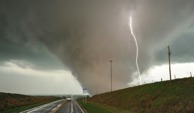
Morning commuters south of Charlotte had more than just wet roads to worry about Wednesday, as a Tornado Watch snapped into place for parts of northern South Carolina and put several counties on alert through the late morning. York, Chester, Lancaster and Chesterfield counties all landed inside the watch area, which lines up with a broad band of storms sliding east across the region. Forecasters warned that rotating storms and damaging wind are possible as a cold front sweeps through, and residents were urged to stay alert and be ready to shelter if things ramp up.
According to WCNC, the National Weather Service issued the Tornado Watch for York, Chester, Lancaster and Chesterfield counties through 1 p.m., with local crews tracking the storms on live radar as they marched across the watch area. The early notice is meant as a heads-up to double-check safety plans and keep an eye on updates through the morning.
Marginal, But Not To Be Ignored, South Of Charlotte
The Storm Prediction Center has the Carolinas tagged with a “marginal” risk for severe weather on Thursday, which means isolated severe thunderstorms, including damaging wind and brief tornadoes, are on the table across the region. The Storm Prediction Center's Day 1 outlook describes the threat as limited in coverage but very real for anyone under the watch, especially along and just ahead of the advancing cold front.
What A Tornado Watch Really Signals
Per the National Weather Service, a Tornado Watch means conditions are favorable for tornadoes to develop, so it is the time to be prepared to act, not to dive into your safe room just yet. The National Weather Service recommends reviewing your safe-place plan, keeping phones and NOAA Weather Radio on, and being ready to move to a small interior room on the lowest floor if a Tornado Warning is issued. South Carolina's Severe Weather & Flood Safety Week has been echoing those same points, urging schools, businesses and residents to confirm shelter locations and alert systems, using materials from NWS Greenville-Spartanburg.
How To Track The Storms In Real Time
For live radar, updated watch and warning boxes and the latest outlooks, follow the Storm Prediction Center along with your local TV weather team and National Weather Service office for quick shifts in the forecast. If you live in the watch area, make sure you can get to shelter quickly, keep your phone charged for Wireless Emergency Alerts, and do not wait to move to your safe place if a Tornado Warning is issued for your location.


