Thursday, April 30, 2026 — Baltimore started the day on the cool and clammy side, with patches of low cloud clinging to the skyline and visibility reduced in spots along the I-95 corridor. Temperatures will still climb into the upper 60s this afternoon, but a brisk northwest breeze will keep things feeling cooler and may nudge some lighter outdoor plans off the table. Along the shoreline, the morning high tide brought some nuisance flooding near the Inner Harbor, though ponding is expected to ease as the water level drops.
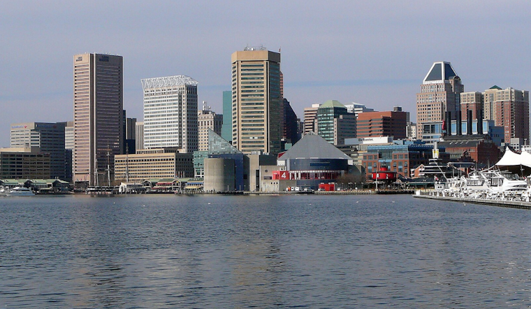
Tides And Minor Flooding
A Coastal Flood Advisory has been in place for parts of southern Baltimore County and the city of Baltimore around the morning high-tide window, with up to about a half-foot of water possible in the usual low spots. Forecasters have flagged occasional flooding at the end of Thames Street and along the Inner Harbor promenade, and yards in Bowleys Quarters may see water pushing in during peak tide. Local crews have been watching the shoreline closely; check WMAR2 News for on-the-ground updates.
Afternoon Winds And Forecast
Skies should turn mostly sunny by this afternoon with a high near 68°F, though northwest winds of 7 to 12 mph and gusts up to 20 mph will keep it feeling on the brisk side and could complicate any lightweight outdoor activities. Boaters and small vessels should be cautious, as gusts to 20 to 25 knots are likely on the waters and Small Craft Advisories remain in effect for some zones. Tonight, temperatures in the city drop into the mid 40s, while forecasters say frost or even sub-freezing readings are more likely in higher, inland areas well west of the Blue Ridge. These details are outlined by the NWS Baltimore/Washington.
Weekend Outlook
A weak upper disturbance keeps temperatures running below normal through the weekend and brings scattered shower chances from Friday afternoon into Saturday, with Saturday carrying the better shot at measurable rain. Sunday looks drier, with sunshine returning and highs in the low 60s. Early next week, the pattern flips warmer, with guidance pointing to highs climbing into the upper 70s by Tuesday and Wednesday. If your plans hinge on dry weather later in the weekend, it is worth checking back for updated timing and coverage of any rain.
Plan Ahead
If you need to travel near the waterfront this morning, build in a little extra time, since some low-lying streets and promenades may be temporarily wet or blocked off until tides recede. Do not drive through standing water, and keep an eye on local media and National Weather Service updates before heading out.


