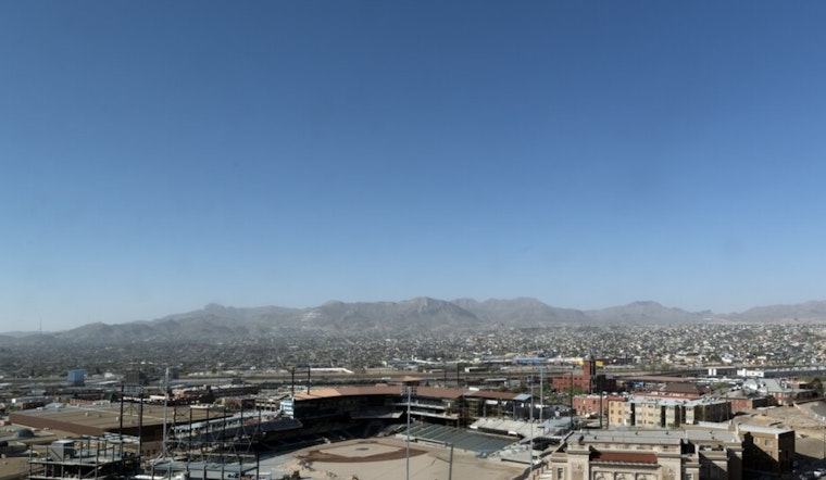
El Paso is starting Wednesday, April 22, 2026, under clear, bone-dry skies and a quick warm-up. Temperatures at El Paso International Airport were in the low 70s this morning, with the afternoon expected to top out near 88°F. Rain is essentially off the table through the coming week, so anyone with outdoor plans will be dealing with plenty of sun, heat, and increasingly gusty winds.
Afternoon Winds Start Flexing
West winds are set to ramp up through the day, with sustained speeds of 6 to 18 mph and gusts near 25 mph on Wednesday afternoon. Forecasters expect even stronger gusts on Thursday and again on Sunday. The strongest bursts could reach 35 to 40 mph in spots, which is enough to kick up patchy blowing dust in exposed desert corridors. These wind and dust trends are highlighted by the National Weather Service El Paso office.
Red Flag Worries On Thursday
A Red Flag Warning is posted for portions of southern New Mexico on Thursday, April 23, from 10 a.m. to 8 p.m. MDT, with nearby lowlands expected to be critically dry through the afternoon. The forecast discussion from the National Weather Service El Paso office notes that “fire danger will be on the rise” and that afternoons are expected to be Elevated to Critical as humidity bottoms out and winds increase, with more detail laid out in the discussion. People in foothills, campsites and mountain trailheads are urged to skip open burning and stay cautious with any equipment that could throw a spark.
What Locals Should Expect And Do
Afternoons will be hot with very low humidity, and many lower elevation spots will drop into single-digit to low teen relative humidity each day, which can quickly boost fire spread potential. It is a good week to secure loose patio furniture, hold off on yard or brush burning, and budget extra time for afternoon errands if you drive a high-profile vehicle or tow a trailer. If blowing dust cuts visibility, pull well off the road and wait out the worst of the gusts instead of pushing through a brownout.
Looking Past The Weekend
Afternoon highs should hold in the mid 80s through the weekend, roughly 84 to 88°F, with mild overnight lows in the low 60s. Rain chances stay near zero into next week. The pattern may briefly relax early next week before another disturbance nudges winds back into the breezy category, so it is worth keeping an eye on updates from the National Weather Service El Paso office for any new watches or advisories.


