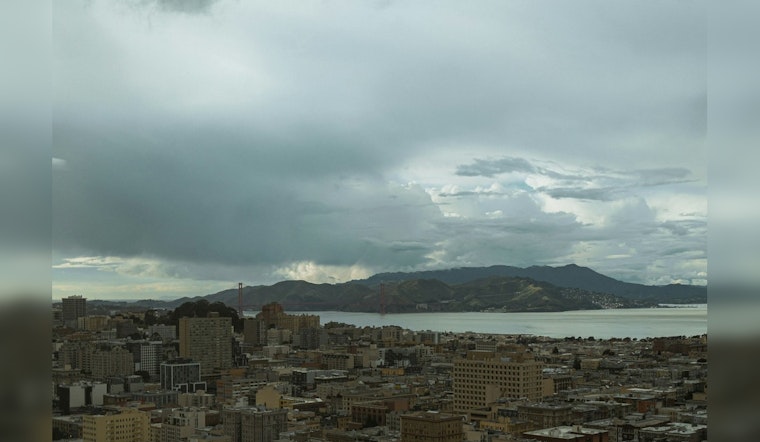
Bay Area residents are in for another day of "nasty weather" with the National Weather Service San Francisco CA predicting more rain, wind, and cold for today, according to a forecast discussion. The report details a dreary day with "rain showers, small hail, high elevation snow, strong wind and cold temperatures," although there may be occasional breaks of sunshine.
The forecast, which includes a Frost Advisory from 1:00 A.M. to 9:00 A.M. PDT Saturday, suggests temperatures dipping into the lower 40s and upper 30s. This cold blast is expected to lead to near-record lows come Saturday morning. As per the National Weather Service, "most areas away from the coast and Bay will see temperatures in the 30s, with some of the hills and mountains expected to get below freezing."
In terms of potential thunderstorms, the NWS Bay Area expressed that the chances are iffy. "The big question today is if thunderstorms will develop," the forecast says. With a low-pressure system moving inland, the conditions might not be ripe for widespread storms, apart from possible "brief heavy showers with some small hail," particularly south of Pigeon Point. This information was echoed in a post from NWS Bay Area earlier in the day.
📡Radar Update 7:15 AM - Happy Friday. Here's a look at the current radar. Widely scattered showers continue to impact the region, especially the Central Coast. These showers will produce brief heavy rain & small hail. Can't rule out a tstorm later today either. #cawx pic.twitter.com/sc8i5ZVlzM
— NWS Bay Area 🌉 (@NWSBayArea) April 5, 2024
Aviation and marine operations could face disruptions too. The weather service warns of showers persisting through the morning affecting south Bay Area terminals and advises gusty northwest winds to continue into the afternoon. "Skies clear and conditions calm overnight," assures the NWS, providing at least some respite in the evening. Small Craft Advisories remain in effect until 9 PM PDT this evening for multiple zones along the coast according to the marine section of the forecast.
The longer-term outlook offers Bay Area residents a glimmer of hope, with a "mostly dry" weekend and a warm-up early next week. "A long warming trend that will last for the next 5-7 days with no real chance for precipitation," is forecasted once the low pressure system makes its exit. For now, locals must bundle up and brave the chill before conditions improve.


