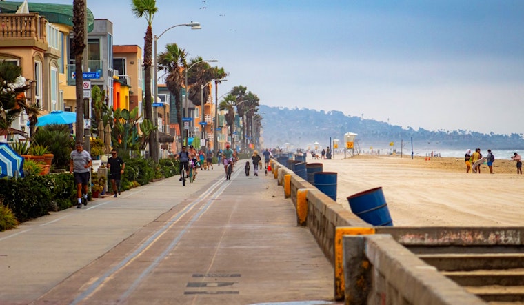
As temps soar through the midweek, city slickers and valley dwellers are in for a sizzler before the cool-down kicks into gear. Pop those sunnies on because it's warming up across the board according to the National Weather Service San Diego. We can thank a shallow marine layer for rocketing temperatures that are pegged to jitter up 5 to 15 degrees inland this Tuesday. That's right, the heat's cranked up and it's spilling over from the sunny coasts to the valleys with highs expected to hit the sweet spot in the mid 70s to the lower 80s in the valleys and a scorching mid 80s to lower 90s in the lower deserts.
Wednesday's forecast won't let the thermometer take a break as coastal temps are dialed back just a few degrees, while inland areas keep the warm streak going. According to the National Weather Service San Diego, high temperature near the coast are going to loiter around the 70s, with the valleys getting a shot of mid 70s to lower 80s warmth. The deserts are sticking to the upper 80s to mid 90s, and even the mountain folks can shed a layer as temps creep into 60s and the lower 70s. But not is all lost for those who prefer cooler climes—Thursday's going to swing back, tossing a few to around 5 degrees cooler conditions than Wednesday, so keep a light jacket handy.
Dipping into the forecast provided by the National Weather Service San Diego, we see Thursday reshuffling the weather deck. A weak low pressure system shimmies through Southern California, dragging cooler air that's a couple of degrees below the usual for this time of the year—athough still 5 degrees above average for the deserts. Anybody missing those morning coastal clouds? They're fluffing up and spreading into the valleys come Thursday and Friday, and hang onto your hats because the gusts might just hit 50 mph in those mountains and deserts.
As the weekend beckons, temps are tipped to rocket again with weak high pressure pumping up the mercury, particularly for those hitting the sand and surf. But don't count on this warmth to stick around; it has an expiration date. By next week, the weather's taking a bit of a turn—the forecast tells us that Palm Springs might just skim 100 degrees on Sunday, but by the time we hit mid-next-week, we're dialing it back again for a cooler trend. As for the mariners, you’ve got smooth sailing ahead with the National Weather Service San Diego confirming no hazardous marine conditions through Saturday. And beachgoers, take note—a southerly swell could bring up surf to 6 feet and quite the rip current risk midweek, particularly in Orange County.


