San Francisco is bracing for a sharp turn in weather as the National Weather Service (NWS) predicts a plunge in temperatures accompanied by rain and possible thunderstorms towards the end of the week. According to the NWS forecast office, Thursday's forecast signals the start of a pattern shift that could bring not only rain but also high elevation snow showers to the Bay Area.
The forecast suggests that the mercury will dip on Friday and Saturday mornings, with coastal areas likely to see a mix of rain showers and potential thunderstorms. However, despite the predicted downturn, "widespread flooding does not appear likely at this time as rainfall amounts will be low-to-moderate," per the NWS statement. In the skies above, snow showers are anticipated over high ground from Thursday through Friday. The heaviest snowfall, in excess of 3 inches, is expected to target the Santa Lucia Range and Mountains of San Benito County while lighter dustings will grace the North Bay, South Bay, East Bay, and Santa Cruz Mountains.
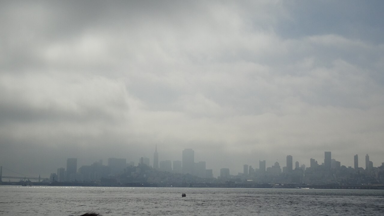
The brief respite of warmth San Franciscans are enjoying is set to taper off sharply. Local coastal temperatures currently basking in the upper 50s to mid-60s will be a memory as urbanites transition into a cooler regime, ushered in by an approaching deep upper-level trough. This atmospheric intrusion is slated to sweep south across the region late Wednesday, dragging down temperatures and introducing that chill to the bones feeling that one associates with an impending frost.
Mariners are on alert too, as the NWS advises in its Area Forecast Discussion, "A high pressure system will persist over the coastal waters and bays today, then weaken tonight and Wednesday as an anomalously strong and cold upper level trough arrives from the northwest." NWS warns that this incoming cold snap "may bring near record low temperatures to the upper levels" with a staggering potential 500 mb temperature drop to -34C, which would be among the coldest ever recorded for Oakland at this time of year. In response, a Small Craft Advisory is in effect for certain coastal and bay areas, anticipating gusty winds and unsettled seas as the weekend beckons.
While spring may have officially sprung, residents can expect to hold on to their winter coats for a bit longer. The Bay Area, accustomed to microclimates and capricious weather, will brace for the latest twist in its atmospheric tale as Mother Nature proves once more that she, unfazed by calendar dates, plays by her own set of rules.


_(2).jpg)