As Chicago braces for another hot and humid week, residents are advised to prepare for persistently muggy conditions, with heat indices that are anticipated to hit, and potentially exceed, the 100-degree mark. According to the National Weather Service's forecast for Chicago, there's a 20 percent chance of showers and thunderstorms after 1:00 P.M. today, under mostly sunny skies with temperatures peaking near 96 degrees. The outlook for the evening does not promise much relief, with the low hovering around a balmy 76 degrees and continued chances for sporadic showers and storms.
The weather pattern is set to oscillate between stifling heat and brief thunderstorms throughout the week. The National Weather Service, cited by its detailed forecast, warns that while heat indices will largely be in the upper 90s, there may be local fluctuations where the index may locally exceed 100 degrees today. These temperatures are likely to persist into Tuesday, with similar conditions and isolated storm risks. Residents should also be mindful that breezy conditions could occasionally amplify, with gusts forecasted to be as high as 30 mph on Tuesday.
The extraordinarily high temperatures carry limited excessive heat risks, and the National Weather Service advises staying vigilant, especially during the afternoons. On Juneteenth, there's an estimated 20 percent chance of showers after 4:00 P.M., providing only a slight reprieve from the oppressive heat. Lake Michigan's nearshore areas are not exempt from the weather turmoil, facing a limited thunderstorm risk and potentially hazardous conditions for small craft, according to a Hazardous Weather Outlook issued for the region.
For those looking forward to the weekend, the forecast hints at continuity in this summer weather narrative, with a chance of showers and thunderstorms both on Saturday and Sunday. Throughout this period, spotter activation is deemed unnecessary, as the general storm movement is expected toward the NE at 25 mph. For the most current and detailed weather updates, Chicagoans can keep an eye on the National Weather Service Chicago's social media updates, which continue to closely monitor and report on these persistent hot and muggy conditions.
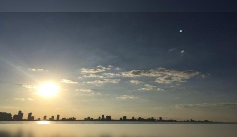
Hot and muggy conditions will continue this week with peak heat indices approaching and even exceeding 100 degrees at times. Periodic chances for showers and storms are also expected over the next few days, but most hours should be dry. #ilwx #inwx pic.twitter.com/RGE9OXuj0b
— NWS Chicago (@NWSChicago) June 17, 2024
-1.webp?w=160&h=400&fit=crop&crop=edges)


