Baltimore and the surrounding Mid-Atlantic region are bracing for a second day of intense heat, with a heat advisory in effect until 8 PM this evening, according to the National Weather Service Baltimore/Washington. Residents have been advised to stay cool and hydrated as heat indices soar to 100-108 degrees east of the Allegheny Front, with the Baltimore/Washington metro area potentially witnessing heat index values as high as 110 degrees. The weather service also issued Small Craft Advisories for marine areas due to gusty conditions anticipated to reach up to 30 knots, as per the National Weather Service.
The oppressive heat is accompanied by increased thunderstorm activity, largely due to a mix of remnants from the tropical cyclone Beryl and a cold front slated to cross the region. Storm Prediction Center keeps most of western and central Maryland, at a Marginal risk for severe weather including the potential for damaging winds, heavy rainfall, and an isolated tornado, especially near the Pennsylvania state line.
Moreover, thunderstorms, which are likely to form this afternoon and evening, may produce localized downpours given the saturated atmosphere—precipitable water values peaking at 2.2 inches. For the evening, the main window for storm initiation is set between 2-6 PM west of KMRB/KSHD and extending into midnight around the metro areas, potentially impacting travel and outdoor activities.
Looking ahead, the cold front is poised to briefly relieve the region late this week before stalling and contributing to a zig-zag pattern of storminess on Thursday and Friday. Shower and thunderstorm coverage is expected to intensify, predominantly east of the I-95 corridor, with the stalled front acting as a catalyst for recurring bouts of precipitation. Residents near the Chesapeake Bay should prepare to potentially, once again, experience Minor Flood stages as tides peak today.
As the weekend approaches, weak high pressure aims to assert itself, bringing slightly drier conditions and reducing the odds of showers and thunderstorms, particularly on Saturday and Sunday. Nonetheless, high temperatures are forecast to climb back up towards the mid to upper 90s by Sunday, warning of the return of excessive heat and humidity.
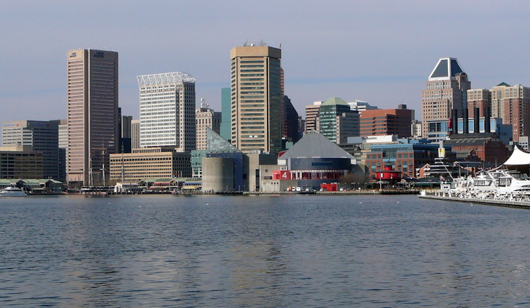
The maritime conditions reflected in the weather upheaval will be under Small Craft Advisories today, followed by quieter winds and fewer storm chances as the front hovers along the Delmarva coast. Mariners should remain vigilant for special warnings tied to the likelihood of strong thunderstorms at sea.
Residents across the affected regions are urged to remain informed through regular updates from the National Weather Service and to take all necessary precautions against heat-related illnesses during this enduring spell of sweltering summer conditions.


