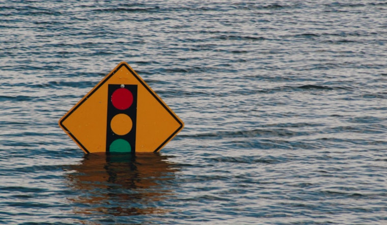
The National Weather Service in Philadelphia has issued a Flood Watch effective from early this morning through tomorrow afternoon, cautioning residents about the potential for excessive rainfall that could cause flooding in parts of Delaware, New Jersey, and southeast Pennsylvania. According to their latest update, the areas under watch should be on alert for flooding of rivers, creeks, streams, and locations prone to flooding, specifically naming counties such as New Castle, Camden, and Gloucester, among others in the region.
The forecast indicates the possibility of widespread showers and thunderstorms converging with tropical moisture, potentially causing areas of heavy rainfall from this morning until tomorrow. The National Weather Service warns residents that rainfall rates may exceed 1 to 2 inches per hour and advises that localized amounts near 3 to 4 inches are possible, despite expected averages ranging from 1 to 2 inches across the watch area.
Residents are encouraged to monitor forecasts and be prepared to act in case of Flood Warnings. Flooding may occur in poorly drained and urban areas, and low-water crossings could become impassable. Excessive runoff may result in flooding of an rivers, creeques, streams, and other low-lying and flood-prone locations, emphasizing the importance of preparation and vigilance in the identified regions.
showers and possible thundershowers, along with highs reaching up to 98 degrees by Tuesday, which could exacerbate the potential for flooding. Presently, the NWS has stated, "Creeks and streams may rise out of their banks," urging those living in flood-prone areas to be ready to take necessary actions. For immediate weather updates and safety information, individuals are instructed to visit the NWS's flood safety page.


