Baltimore and Washington D.C. residents can expect the skies to clear up as this week progresses, with cooler temperatures on the horizon. A report from the National Weather Service Baltimore MD/Washington DC details that the stubborn front bringing showers and thunderstorms will finally make its exit southeastward today. In its wake, Canadian high pressure is set to build in, ushering in much drier conditions and a drop in the mercury readings starting Tuesday.
The lingering front may still trigger some organized convection this afternoon, particularly to the southeast of Baltimore, with the potential for heavy rainfall, gusty winds, and lightning strikes. Temperatures during the day will range from the 70s to mid-80s, with cooler spots in the higher elevations parked in the 60s. Going into the night, those temps plunge into the 50s and 60s, according to the National Weather Service.
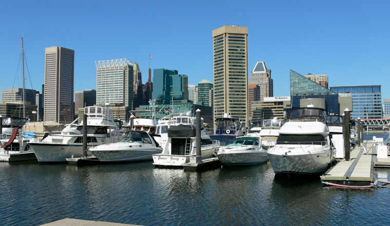
Local seafarers should heed the Small Craft Advisory effective from this evening through Tuesday evening, where gusts could reach up to 25 knots, the National Weather Service cautions.
On the aviation front, the week sets a calm stage for flyers, with prevailing VFR conditions expected through Wednesday. Aviation operators should, however, anticipate the possibility of some rough weather this evening, courtesy of the aforementioned convection, which might result in reduced ceiling and visibility due to heavy rainfall and gusty winds. But after that, smooth sailing is predicted through to Friday.


