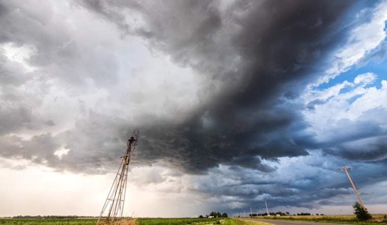
Residents across the DC and Baltimore region should prepare for a bout of inclement weather today as the National Weather Service warns of potential thunderstorms, accompanied by possible flash flooding and damaging winds. According to the NWS Washington D.C. forecast, showers are likely after 2 p.m., with the risk increasing into the night. While temperatures are set to reach a high near 91 degrees, the heat index might soar as high as 102 degrees, turning the day not just wet, but oppressively warm.
In anticipation of the rough weather, those in the vicinity should be on alert as Thunderstorms may be capable of producing isolated instances of damaging winds and flash flooding this afternoon and evening, per the Hazardous Weather Outlook issued by the National Weather Service. It further suggests that the rainfall could range between a tenth and a quarter of an inch, but thunderstorms could potentially bring higher amounts. The evening is expected to continue the stormy pattern, with the chance of precipitation holding steady at 60 percent and new rainfall amounts possibly spanning between a quarter and half of an inch.
The outlook for Friday indicates a continued chance of showers, with cloudy skies and a high of around 80 degrees. The National Weather Service update advises that the probability of precipitation is at 40 percent. As we progress into the weekend, Saturday retains the likelihood of showers and thunderstorms post-2 p.m., casting a partly sunny disposition on the day, with predicted temperatures rising near 88 degrees and a 50 percent chance of rain.
Sunday afternoon maintains a 30 percent chance of showers under partly sunny skies. The odds for precipitation drop before 8 p.m. that night, giving way to a clearer Labor Day forecast. Monday promises sunshine with the thermometer peaking around 82 degrees, and the clear skies are to continue into Tuesday, casting mostly sunny conditions with a high once again hovering near 79 degrees.
The National Weather Service warns everyone to stay alert during today’s storm. People near the water, especially around the Chesapeake Bay and Tidal Potomac River, should be extra careful. Boaters and coastal communities need to be cautious due to the stormy conditions.


