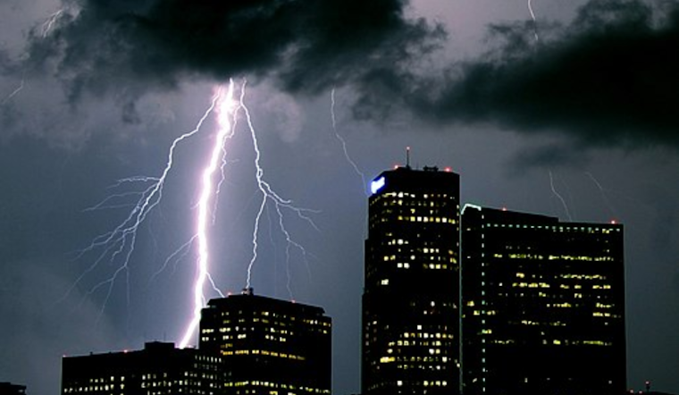
Denver residents can expect an array of weather conditions in the coming days, with forecasts predicting everything from thunderstorms to sunny skies. The National Weather Service in Denver has issued a detailed forecast and hazardous weather outlook highlighting the potential for gusty winds and thunderstorms alongside drier weather later in the week.
Starting today, there's a 40 percent chance of showers and thunderstorms cropping up mainly after 2 pm. According to the National Weather Service, Denver will see highs nearing 91 degrees Fahrenheit with winds shifting from south-southwest to north-northwest by afternoon. The trend of scattered showers and storms is set to persist into the evening, but only with a 30 percent likelihood before 9 pm. Meanwhile, breezes could pick up to as much as 16 mph. Given the variability, venturing outside could mean packing a rain jacket alongside your sunglasses.
Much of the same pattern is forecasted for Sunday, signaling a weekend where outdoor plans should be approached with a hint of caution. There will be a close to 40 percent chance of afternoon thunderstorms, after a partly sunny start and highs predicted to be around 89 degrees Fahrenheit. By nightfall, the chance of storms will decrease slightly, though the wind will likely continue to gust.
Looking further into the week, a shift towards drier conditions is on the horizon. By Monday and Tuesday, storm chances taper off significantly, and by midweek, Denver locals can expect mostly sunny days with high temperatures nudging into the 90s. Yet even during this relatively calm stretch, isolated storms aren't fully out of the question, thus to fully discount the umbrella from your daily necessities would be a premature move.
On the safety front, the National Weather Service cautions about potentially hazardous weather, citing isolated thunderstorms that could generate strong gusts hitting between 40-50 mph, and possibly even 60 mph. Although the risk of severe weather is limited, flash flooding in recently burned areas is not entirely off the table. Beyond the weekend's storms, concerns shift to elevated fire weather conditions due to breezy spells. This outlook signals a period of contrast, where one must be mindful of both water from above and the fire risks on the ground.
For the most part, the anticipated weather shouldn't necessitate spotter activation, a routine measure for severe weather monitoring. So as Denver navigates through the labyrinth of its late August climate, residents and visitors alike should stay tuned to updates and be prepared for quick shifts in weather patterns.


