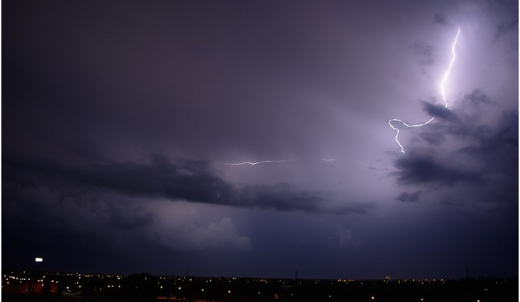
The National Weather Service in Denver has issued a weather outlook that forecasts a shift in conditions for northeast and north-central Colorado. According to the National Weather Service, residents can expect isolated showers and thunderstorms in the high country this afternoon and evening, with the potential for gusty outflow winds.
The outlook also highlights elevated fire weather conditions across most of the plains, due to the warm and dry atmosphere. High temperatures are anticipated to hit the low 90s in areas along the I-25 corridor and across the plains. While no spotter activation is deemed necessary at this time, individuals should remain vigilant given these conditions.
Going into midweek, Wednesday's weather comes with a forecast of scattered to numerous showers and thunderstorms, following a cold front and upper-level system sweeping through the region. A few storms could be strong to severe with hail up to one inch in diameter and 60 mph winds. The unsettled weather will likely persist through Thursday, particularly in the morning hours.
The detailed forecast informs residents of Denver to brace for increasing clouds today, with highs peaking near 92 degrees. As the situation progresses into Wednesday night, thundershowers are expected to make an appearance before midnight, followed by a chance of continued showers and thunderstorms later into the night. Partly cloudy skies and a 40 percent chance of rain will hang over Thursday, with the sun making a return on Friday and carrying through the weekend.


.jpeg)