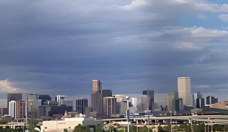
Denver locals are preparing to swap their sunglasses for umbrellas as a shift in weather patterns is set to bring cooler temperatures and rain showers this weekend. According to the National Weather Service, today marks the last surge of above-normal temperatures and dry conditions before a storm system moves into the area. Fire risk remains a concern, particularly for Lincoln County and the Palmer Divide, where breezy southwest winds coupled with low humidity levels are expected through early evening.
The imminent weather change is forecasted to to dramatically drop temperatures, with Saturday possibly expecting a high near 69 degrees after today's peak of 88, nearly a 20-degree plunge. The National Weather Service also warns of potential rain and thunderstorms kicking in Saturday afternoon, increasing to a 90% chance of precipitation by Saturday night. Outdoor enthusiasts should take note that several inches of snow is forecasted for areas above 9,000 feet in the Front Range Mountains, though snow levels may dip slightly lower during the night.
Sunday's forecast offers Denver a slight reprieve, with a 50 percent chance of morning showers and a modest high near 56 degrees. As the week unfolds, Denverites can expect a warming trend, with sunny skies and highs rebounding to the mid-70s by Monday. However, the weather is predicted to remain unsettled with a chance of showers and thunderstorms returning Monday night.
The hazardous weather outlook extends beyond precipitation concerns, as temperatures are anticipated to significantly cool from Saturday night through Sunday night. As the new week approaches, gradual warming is on the horizon, bringing Denver back to more comfortable conditions. Despite the cooler spells and wet weather, spotters are not expected to need activation over the weekend, indicating a milder weather event compared to those prompting critical responses.


