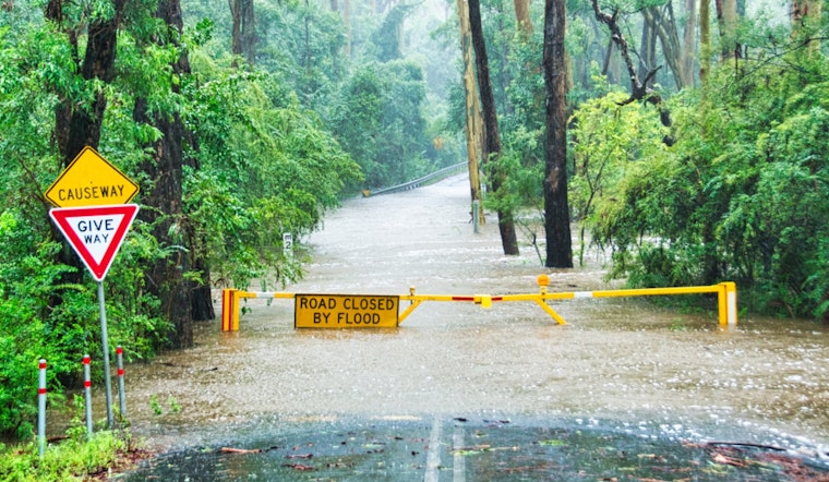
Jacksonville residents should prepare for minor coastal flooding as the National Weather Service extends its advisory until the early hours of Saturday morning. The affected areas include Coastal Duval, Trout River, and South Central Duval Counties, where parks, lots, and roads may experience flooding. Authorities caution that while only isolated road closures are expected, residents should remain vigilant and heed any warnings. For additional safety, individuals should safeguard flood-prone properties.
The NWS forecast promises a predominantly sunny week ahead, with a few chances of rain and thunderstorms. Tonight, Jacksonville can expect a calm evening with temperatures dipping to a comfortable low of around 72 degrees. The calm extends beyond the air to the sea breezes, though the coastal flood advisory indicates that nature’s forces are at work, but not dangerously so.
Tomorrow, there is a slight 20% chance of showers that might continue into the weekend. Conditions should remain mostly sunny, with high temperatures in the mid-80s and breezy winds picking up through the weekend and into next week. Keep an eye out for patchy fog before 9 a.m. tomorrow, as it could be an inconvenience for the early commute.
The upcoming week looks promising for those with outdoor plans, though Wednesday might bring a 30 percent chance of showers and thunderstorms, along with another breezy day. While the weather generally offers respite and warmth, it also requires respect for its potential changes. Stay updated on weather patterns and coastal flood situations by visiting the National Weather Service website or checking local alerts. A Coastal Flood Advisory indicates that onshore winds and tides will combine to cause flooding in low-lying areas along the shore.


