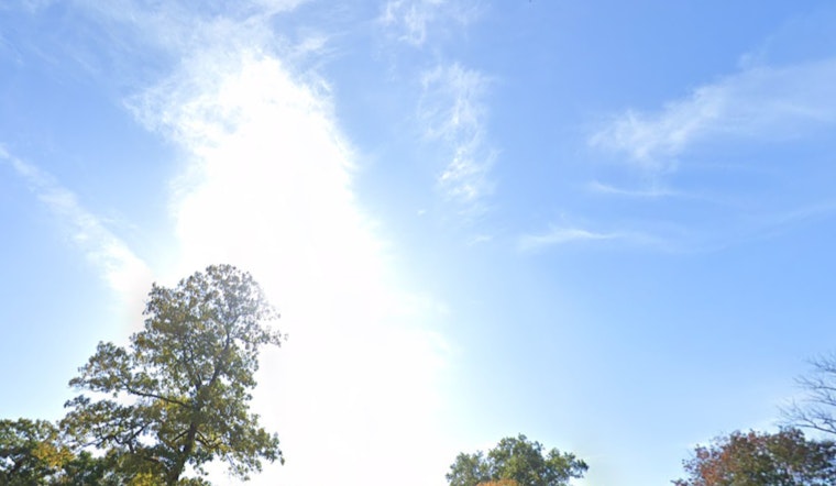
The National Weather Service in Milwaukee has issued its latest update, reporting a mostly cloudy day with a current temperature of 67°F and humidity at 87%. The barometric pressure is at 30.14 in (1020.3 mb), with easterly winds blowing at 3 mph. The dew point is 63°F, contributing to the muggy feeling, though visibility remains clear at 10 miles.
In the coming days, Milwaukee residents can anticipate a partly sunny day with temperatures reaching approximately 78 degrees, accompanied by a gentle east wind at 5 to 10 mph. By evening, clouds are expected to build as temperatures drop to around 65 degrees. The east wind will shift to the southeast and decrease to 5 mph after dusk.
As Sunday approaches, the forecast indicates increased sunshine and slightly warmer temperatures, with highs reaching around 81 degrees. A light southeast wind will continue at 5 to 10 mph. By nightfall, conditions will return to partly cloudy, with temperatures remaining in the mid-60s. Monday is expected to follow a similar pattern, featuring sunshine and gentle breezes, with temperatures climbing to 83 degrees. The weather pattern will then settle into a routine of clear nights and sunny days throughout the week.
The Hazardous Weather Outlook indicates a potential for isolated to widely scattered showers and storms today. No significant threats are expected through next Friday. Spotter activation will not be necessary, as there are no major concerns about weather conditions in the region.
Residents and visitors in east central, south central, and southeast Wisconsin, including Marquette, Green Lake, Fond du Lac, Sheboygan, and other listed counties, can expect a continuation of comfortable late-summer conditions with no significant weather concerns in the near future. For the latest weather updates for Milwaukee, visit the National Weather Service website.


