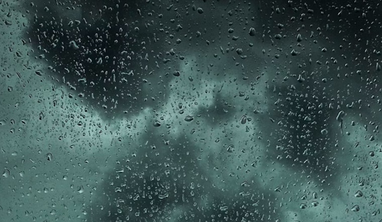
As unsettled weather sweeps across Milwaukee, residents can anticipate a wet and breezy day ahead with potential thunderstorms, according to National Weather Service. Showers could be accompanied by thunderstorms before 4pm, following with a chance of showers; winds are expected to pick up, gusting as high as 25 mph. Overall, an 80 percent chance of precipitation looms over the region, with new rainfall possibly reaching one inch.
Temperatures are likely to drop tonight, with lingering showers tapering off by 7pm, leaving behind cloudy skies that will gradually part, and a forecasted low sits around 55 degrees, the northern winds will not relent as they could hit speeds of up to 25 mph, the National Weather Service has also issued a Hazardous Weather Outlook for the area cautioning against thunderstorms throughout the morning particularly affecting east central, south central, and southeast Wisconsin.
In addition to the storms, Milwaukee's coastal areas are on alert for a different threat—a Beach Hazards Statement is in effect from this afternoon through Monday afternoon, as life-threatening waves of 3 to 5 feet and dangerous currents are expected to develop, especially in Sheboygan, Ozaukee, and Milwaukee Counties. "Stay out of the water and away from dangerous areas like piers and breakwalls," the warning explicitly states, as there is potential for strong structural and longshore currents, with rip currents seen as a possibility, as mentioned by the National Weather Service. The coming days should bring some relief, with sunny breaks forecasted for Monday and Wednesday, while the chance for showers persists through Tuesday and into the latter part of the week, temperatures are anticipated hover near the 70-degree mark.


